The National Weather Service in Knoxville has issued an update for local weather conditions, forecasting a series of showers and thunderstorms rolling through the region starting this morning. According to the National Weather Service, there's a calm before the proverbial storm with fog and mist in the early hours, but that's soon to give way to a 70% chance of precipitation. The calm wind is expected to gain some personality with speed becoming southwest around 5 mph in the afternoon.
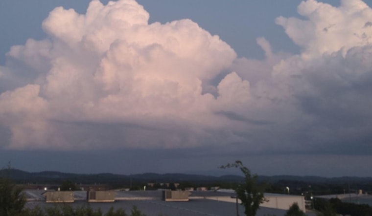
Showers and storms will continue for the next several days with more organized storms possible on Thursday. As of right now, the threat for strong to severe storms is low, but it will be worth keeping an eye on in the coming days. pic.twitter.com/jlx1ZZxJ1B
— NWS Morristown (@NWSMorristown) June 16, 2025
Temperatures are expected to hover high, with today's high near 86 degrees Fahrenheit. Rainfall could accumulate between a tenth and a quarter of an inch, although thunderstorms might lead to higher amounts. Into the evening, the likelihood of showers and thunderstorms persists at 60%, with a low temperature down to around 70 degrees. As for Tuesday, those showers and thunderstorms are more than likely, with an 80% chance suggested by the NWS outlook. Winds will be picking up, too, gusting as high as 20 mph. Similar rainfall expectations continue with a tenth to a quarter of an inch projected, but again, potential thunderstorms could cause those numbers to swell.
Looking ahead to midweek, Wednesday brings a strong chance of showers and thunderstorms, particularly after 11 a.m. Temperatures will climb to a high near 87°F, with some relief provided by partly sunny skies. Winds will remain brisk out of the southwest at 5 to 10 mph, with gusts up to 20 mph that could intensify developing weather.
In a broader view shared by the National Weather Service, a Hazardous Weather Outlook has been issued for parts of southwest North Carolina, east Tennessee, and southwest Virginia. This advisory details the potential for "scattered showers and thunderstorms" which could lead to "localized runoff issues" if storms follow one after another over the same areas. While certain hazards are described as isolated, the NWS encourages spotter reports for wind damage and flooding.
As the weekend nears, a brief break from the rain is in sight. Friday brings just a 20% chance of showers and thunderstorms after 2 p.m., with mostly sunny skies. By nightfall, that risk drops to 10% before skies clear. Looking to Saturday, expect sunny conditions and a high near 92 degrees, with a slight 20% chance of thunderstorms during the day and evening, the National Weather Service stated.


