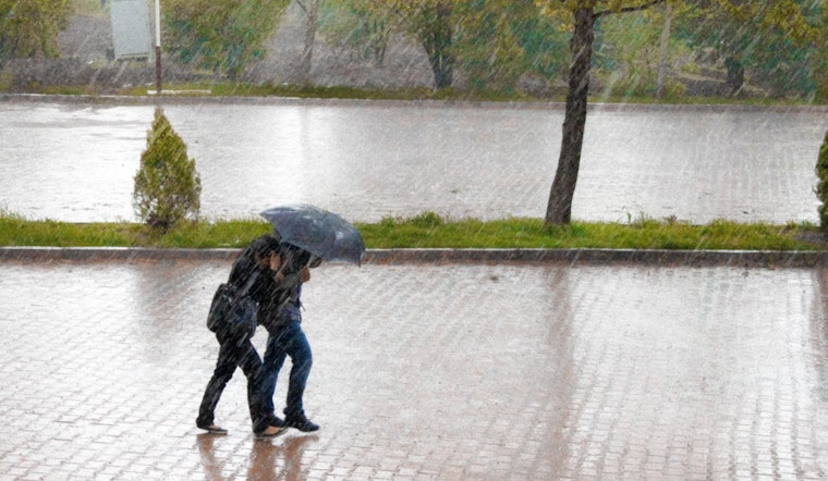
Knoxville is bracing for a series of potentially disruptive weather conditions over the next several days. According to the National Weather Service (NWS) in Knoxville, there's a 40 percent chance of showers and thunderstorms today, primarily post-2pm, with mostly cloudy skies and a high nearing 86°F. In the calm before the storm, residents will see patchy fog lifting by 9am, giving way to southwest breezes in the afternoon.
As the evening draws in, the possibility of showers and thunderstorms persists until the early hours, though the wind is expected to remain calm with a steady low at about 70°F. However, showers might interrupt this forecasted calm before 11am tomorrow, followed by a surge of showers and possible thunderstorms, pegging the chance of precipitation to a soaking 90%. The forecast suggests new rainfall could amount to a quarter up to half an inch, potentially exacerbating the impact on the local community.
Moving into tomorrow night, the threat of inclement weather intensifies with showers and possible thunderstorms forecasted before 2am, succeeded by repeated chances of showers and storms throughout the early morning. The mercury will hover around 70°F, accompanied by a mild southwest wind of about 5mph. The National Weather Service's detailed forecast projects an 80 percent likelihood of rainfall.
Projections for Sunday reveal a high probability of showers, with thunderstorms likely after 11am. The high is anticipated to reach a near 82°F with alert southwest winds reaching between 5 to 10 mph. Despite the unrest in the heavens, the chance of precipitation remains undeterred at 90 percent, signifying a wet curtain over the city's skies.
The Hazardous Weather Outlook, issued by the NWS, cautions that from today through Thursday, daily showers and storms are expected, which could lead to localized flooding issues. The outlook highlights that some storms may have strong and gusty winds, indicating a tumultuous week ahead for the residents of Knoxville and surrounding areas in Tennessee, southwest North Carolina, and southwest Virginia. The NWS advises that no spotter activation is required at this moment, but locals should stay tuned to weather updates as conditions develop.


