The National Weather Service in Las Vegas is forecasting a gradual heatwave, with temperatures expected to rise 3 to 7 degrees above average early this week. Highs could reach levels typical of late June, though not extreme enough to prompt official heat warnings. However, parts of Mohave County may face a "major heat risk," with conditions nearing dangerous levels, according to the NWS forecast discussion.
Midweek may bring some relief as moisture moves into Arizona, helping to ease temperatures back to seasonal averages. An offshore low-pressure system is expected to contribute to the cooling trend. However, the desert heat isn’t done yet—thunderstorms are possible in northwest Arizona starting Tuesday. Meanwhile, the Las Vegas Strip is expected to remain dry, with a southerly breeze bringing in drier air.
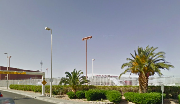
Harry Reid International Airport is expected to see favorable flying conditions, with winds shifting from the southeast to southwest by the afternoon and gusts reaching up to 18 knots. According to the National Weather Service, temperatures will exceed 100°F between 19z and 04z, peaking around 106°F. Clear skies are forecast for pilots and passengers. Similar breezy and clear conditions are expected across southern Nevada, northwest Arizona, and southeast California, though travelers should be cautious of persistent westerly winds near Barstow-Daggett Airport (KDAG).


