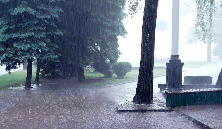
The National Weather Service in Nashville is forecasting a series of showers and thunderstorms for the region, predicting a 30 percent chance of precipitation overnight with a mostly cloudy sky and a low around 72 degrees, according to their latest bulletin. With the dewpoint sitting at a humid 67°F (19°C) and the barometer reading 29.96 inches (1013.8 mb), it's shaping up to be a damp and heavy start to the day.
Today's outlook hints at more wet weather, with a 90 percent likelihood of showers and thunderstorms, winds gusting as high as 20 mph and possible high rainfall amounts in stronger thunderstorms, all while temperatures are expected to crest near a warm 85 degrees; it's not exactly the kind of day you leave your umbrella at home even with a south wind blowing at a mere 5 to 10 mph. Tonight, there's a 60 percent chance of showers and thunderstorms, mainly between 2am and 3am, maintaining the trend with a low around 72 degrees and continued southwesterly winds, as reported by the National Weather Service.
Midweek brings a mix of potential showers, with a 40 percent chance of storms tomorrow, mainly during the morning hours, and a shift toward sunshine by the afternoon, where temperatures are anticipated to escalate to a near-sweltering 91 degrees, with heat index values possibly hitting 99. Tomorrow night, however, will dial back into a 60 percent chance of thunderstorms, maintaining the pattern as partly cloudy conditions firm their grip on the region.
On Juneteenth, the likelihood of showers and thunderstorms climbs to a solid 60 percent, with partly sunny skies and a high of 87 degrees expected—carrying on the Nashville summer tradition of unpredictability, muggy heat, and passing storms. Those attending outdoor events might want to have contingency plans, as west-southwest winds at 5 to 10 mph won’t be enough to blow away the uncertainty of rain. The latter half of the week’s weather narrative sees a tapering off of rain probabilities, though a 20 to 30 percent chance of thunderstorms persists through the weekend into Monday, amidst extended sunny periods and highs inching toward the mid-90s.


