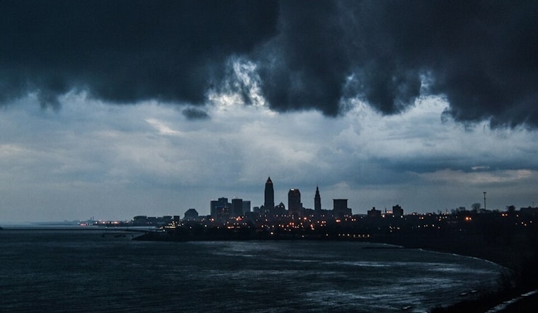
The National Weather Service in Cleveland is signaling a typical flip-flopping pattern over Ohio, with a brief spell of high pressure giving away to a stalled front and impending rainfall. While early-morning fog across the southeastern zones may have been a mere inconvenience, dissipating within hours, the forecast suggests that we should keep an umbrella handy in the days to come.
Despite a dry spell holding strong through Sunday night, come Monday afternoon, the region should brace to possibly witness isolated showers, as per the NWS Cleveland's discussion. These could escalate into scattered showers, with the slow-moving nature of the front poised to potentially lead to heavy rainfall and even localized flooding on Monday. Within the near term, temperatures look to hover in the comfortable mid- to upper 70s range, teetering into the 80s on Monday.
Moving into the midweek outlook, the short-term predictions detail a warm and unsettled streak – a quasi-zonal mid-level flow wreaking a bit of havoc. It seems the warm front is gradually shifting northward, dragging with it a likelihood of scattered showers and thunderstorms on Tuesday, particularly across central and northeast Ohio and northwest Pennsylvania. Temperatures are expected to remain quite summery, with the mercury potentially hitting the mid-80s in some areas.
As per the NWS, Wednesday might just be the day to keep a watchful eye on the skies – a shortwave trough could bring stronger convection and a chance of heavier showers, especially before the cold front slides southward later at night. Whatever relief Thursday might bring won't last long, the weekend may yet again turn unpredictable with potential disturbances in the forecast. Nevertheless, a modest climb in temperatures is something to look forward to as an upper-level ridge expands, promising very warm conditions by week's end.
Boaters on Lake Erie should be aware of current conditions, too. Northeast winds, ushering in up to 18 knots, could rock the boat a bit today and tomorrow, with the National Weather Service highlighting "a moderate risk for rip currents for much of our lakeshore area today." By Tuesday, conditions will shift, with winds turning south-southwest and ramping up to 15 knots. These patterns are expected to persist through Thursday, which could result in choppier waters.


.jpg)