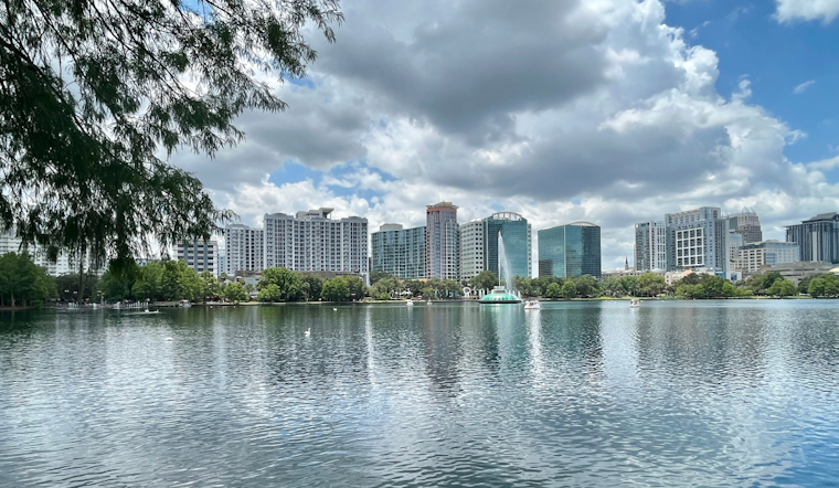
The National Weather Service Melbourne FL has issued its latest weather outlook for the Orlando area, and based on their forecasts, the region is set for some steamy and potentially stormy conditions. Residents should brace themselves for a weather pattern that is expected to continue into next week, bringing with it a "Marginal Risk" for severe weather today. With the heat index poised to soar between 100 and 105 degrees, the weather service is advising the public to take measures against heat-related illnesses.
According to the National Weather Service's morning announcement, an Atlantic ridge is encroaching on the Florida peninsula today, coinciding with a mid/upper level low near Alabama and Georgia. The weather pattern is expected to keep the sea breeze near the coast, resulting in a high likelihood of showers and thunderstorms with a coverage of 60-70% across the area. The weather service notes that a few wind gusts up to 60 mph could flare up along the sea breeze collision zones due to the dry air from the Saharan Air Layer (SAL), posing risks of lightning strikes and minor hail. Contributing to the convective atmosphere, they reported "DCAPE values around 1000 J/kg." Locally heavy rainfall is also expected, which could lead to minor flooding.
The weekend forecast doesn't let up, as high shower and storm coverage is expected to persist. The service states that deep moisture (PWATs up to 2") lingers over the area. It is likely to maintain a high coverage of showers and storms, especially during the afternoons and evenings, with PoPs standing at 60-70%. While the severity of storms may be moderated, the possibility of strong storms remains, thanks to the projected 500 mb temperatures of around -8°C. Amidst the humidity and heat, those with outdoor plans should stay wary of the continuing moderate risk of rip currents at area beaches.
Mariners aren't exempt from vigilance either, as "generally favorable boating conditions" are forecasted to be marred by potential strong to marginally severe storms, especially today. Storm hazards include lightning, gusty winds, small hail, and heavy downpours, the weather service cautions. Winds are predicted generally to stay below 15 knots, but expect variations as the sea breeze develops along the coastline in the afternoon. Sea conditions are expected to remain at 1-3ft.
The aviation sector also faces uncertainty due to the low confidence in convective evolution, making the timing of thunderstorms a compromised prediction between various guidance models. The potential for early convection along the Treasure Coast could impact timing at all East Central Florida terminals as outflows move inland, necessitating close monitoring in the upcoming hours. Pilots should also keep in mind that winds, initially variable and light, may pick up as the East Coast sea breeze develops.


.jpg)