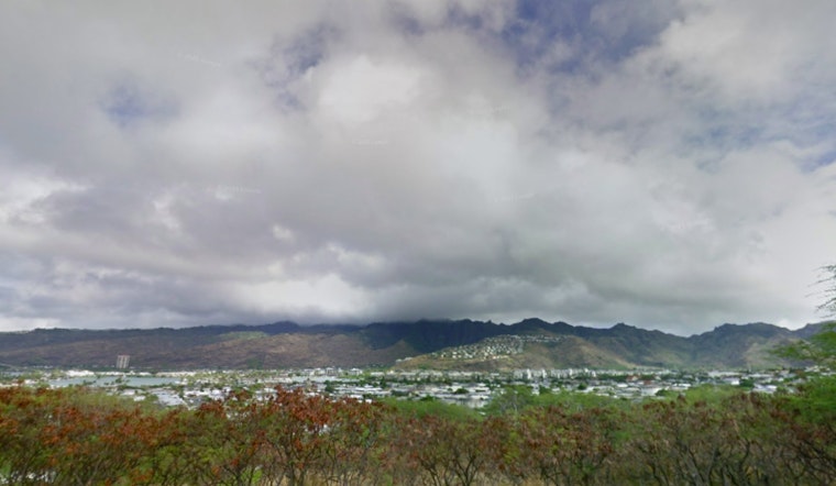
For those in Honolulu looking to plan their week, the National Weather Service (NWS) predicts that brisk trade winds will stick around for a few days, accompanied by intermittent rain, particularly in windward and mauka regions. "Breezy trades will be maintained through the next several days, with periods of passing windward and mauka showers embedded within," according to the NWS forecast. However, as pressure systems shift, residents can expect a gradual drying trend, though the occasional trade shower may not be entirely off the cards.
As the high-pressure system northeast of the islands begins to ease up, winds are expected to lose some of their gusto, shifting from strong to more moderate levels, the report issued by the NWS highlighted a slight increase in cloudiness and rain showers, most likely affecting the zones facing the wind and higher elevation areas, this influenza of indistinct nebulous patterns aligning with the ebb and flow of our celestial breath, coming forth with a promise of sustenance, light showers that speak only to those awaken in the night.
There's a possibility Kauai could see a bit more rainfall activity through Wednesday, with a weak low-pressure system that may bring heavier showers to the region. The NWS report notes, "increased moisture in conjunction with some weak instability will allow for some brief moderate showers." For the rest of the island chain, however, shower activity is predicted to be relatively mild - save for the odd, passing damp moment during midweek.
Aviation-wise, pilots can expect the same breezy trades across the islands for a few days, though there could be some minor snags with low ceilings and shower activity potentially causing marginal visual flight rules (MVFR) conditions, as the high altitude dance of our atmosphere continues to sway the taunt fabric that separates sky from sea, an intricate ballet of pressure and moisture, playing out in two parts, with gusty trades performing the opening act, followed by a gentle interlude of upper-level ridging bringing a milder climate.
Mariners, on the other hand, should remain vigilant as the small craft advisory holds for now, set to expire at 6 PM HST this evening, per the NWS advisory. This is due to expectations of fresh to strong trade winds peaking today, after which they are likely to lessen somewhat. Meanwhile, surfers might be interested to know, as reported by the NWS Bulletin, "Surf along south shores will become elevated during the peak of the swell, but should stay shy of High Surf Advisory criteria."
Lastly, a lunar high tide cycle could result in minor coastal flooding through Thursday. This may be further impacted by the south swell, reaching its apex later today, so those in low-lying coastal areas should be on the lookout for a possible swell's crescendo aligning with peak tide periods, leading to encroaching waters that softly claim the land in their silent ascent.


