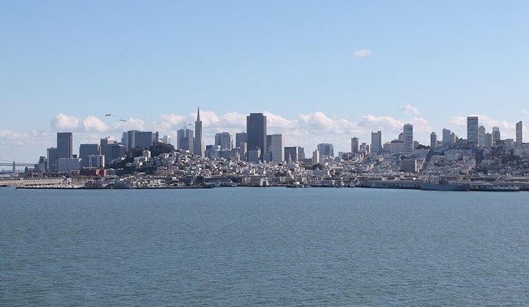
The Bay Area's summertime cool-down continues to hold its grip, with the National Weather Service San Francisco office confirming a "quiet pattern" that includes below-normal temperatures and breezy afternoons. In a report issued at 239 AM PDT on Tuesday, the NWS assured residents that the marine layer, which has entrenched itself up to about 1,200 feet, is curbing the warmer temperatures usually anticipated this time of year.
Despite the prevalence of this uncommonly cool pattern, don't expect much change in the short term. As it were, the status quo is supported by a "blocking upper level high pressure to our east," which is set to continue through the next week, per NWS. There's a chance the marine stratus could slightly increase in coverage as we move toward the weekend, but any other notable alterations in the weather seem to be off the table for now. The forecast has the city stubbornly clinging to its tranquil nights and breezy afternoons for a spell.
Moving into the longer-term forecast, "there is a weak signal suggesting the ridge over the western CONUS begins to break down and an upper low moves into the western Great Basin," according to the NWS statement. While still more than a week away and not definitive, the potential shift could usher in some degree of warmer and drier offshore winds — a notable point given the historical impact of such winds around this time of year. The NWS cautions to "stay tuned for updates" as the situation develops.
For those interested in aviation, the current mix of IFR-VFR conditions at Bay Area terminals is expected to clear to widespread VFR by the afternoon, according to a 411 AM TAF issuance. However, a deeper marine layer tonight might herald the return of sub-VFR ceilings, particularly along the bayshore and coastal regions. "High confidence (80%) in a sub-VFR ceiling returning tonight," the NWS noted, indicating that lower visibility could be on the horizon for some areas.
Mariners aren't left out of the weather conversation, as "widespread moderate to fresh northwesterly breezes with strong gusts will pose hazardous conditions for small craft through the week," especially for outer waters and coastal jet regions. The marine forecast also advises moderate to rough seas persisting through Saturday, urging small craft to heed the advisory in effect for parts of the Monterey Bay and the waters northward to Point Arena. For complete details on the advisories and forecast updates, visit the National Weather Service website.


.jpeg)