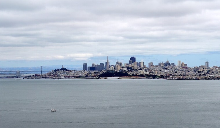
The Bay Area is experiencing an uncharacteristically cool end to July, with temperatures dipping low enough to challenge historical records, according to the National Weather Service in San Francisco. Projections for record low maximum temperatures today have kept the region bundled up, with cities like Santa Rosa and Napa just a few degrees shy of setting new records for this time of year.
In a recent social media update from NWS Bay Area, data showed the forecasted temperatures alongside previous record lows. Cities like San Francisco, which had a record low max temperature of 57 degrees, forecasted a high of 64, while Livermore's high of 77 was just above its record of 74. This unusual chill has gripped the Bay Area, with multiple cities teetering on the edge of temperature benchmarks for over a century.
Lowest max temperature on record for July 25th. We're getting close today. #CAwx pic.twitter.com/lsQkilhDgv
— NWS Bay Area 🌉 (@NWSBayArea) July 25, 2025
These conditions can be attributed to a persistent cut-off low-pressure system. "The cut-off low is centered directly over the Bay Area at 500 mb and won't budge much in the short term. That means another day with a deep marine layer, some patchy drizzle in the morning, and afternoon temperatures 5-15 degrees below normal," the National Weather Service in San Francisco reported in an official forecast discussion. San Rafael, which was expected to reach 72 degrees, was anticipated to tie its lowest max temperature for today, a record set back in 1993.
The peculiar weather has also led to a deep marine layer and increased drizzle, with moderate, gusty onshore winds set to prevail through Tuesday. "A moderate northwesterly breeze and moderate seas will prevail through Tuesday. Low clouds with drizzle can be expected through Saturday," the National Weather Service forecast detailed.


.jpg)