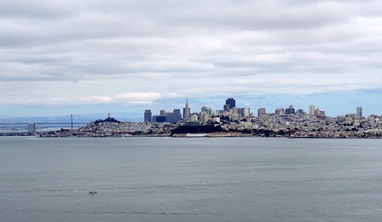
San Francisco Bay Area residents with seaside property should prepare for minor coastal flooding, as the National Weather Service in San Francisco predicted. The NWS has issued a Coastal Flood Advisory alerting locals along the Bayshore to anticipate up to one foot of inundation above ground level in low-lying areas near shorelines and tidal waterways, effective from 8 PM Tuesday through 1 AM Wednesday. According to the advisory, the San Francisco tidal gauge is expected to register high tide at 1.11 feet above normal at 9:57 PM PDT Tuesday.
Heading into the week, temperatures stay cooler than average, a theme set to persist. As reported by the NWS San Francisco's Area Forecast Discussion, the Bay Area won't be warming up much, with high temperatures today capped in the 70s inland, and only brushing the low 60s along the coast. The prediction speaks to the larger pattern of a summer running colder than we are accustomed to, seeing temperatures routinely falling below historical averages.
Continuing with the weather outlook, the regional forecast anticipates a deep marine layer to bring humidity and coolness across much of the area. This condition is rooted in an offshore trough expected to develop into a cut-off low by Wednesday, prolonging the cool-weather trend. Coastal flooding risks coincide with the deep marine layer, which also influences aviation and marine conditions, introducing complexity for air and sea navigation with low stratus clouds and the potential for drizzle.
In a longer-term view, while the immediate forecast indicates a weaker gradient and a respite from strong synoptically forced onshore winds, by the weekend, a pattern shift may be on the horizon. A move towards normal temperatures is hinted at for the close of the month. "Most likely this means temperatures will start to climb back toward normal by the end of the month," as per insights from the NWS forecast discussion. Drizzle and lower-than-average temperatures might reign for now, yet change whispers from the turn of August's page.
Illustrating the uncharacteristic chill of this summer, the National Weather Service provided a climate comparison for the Bay Area. It sharply contrasts the typical frequency of reaching certain temperature thresholds with the low numbers recorded this year. For example, San Francisco's marine-influenced climate typically crosses the 70-degree mark about once per Summer, whereas this year's count stands significantly below that. These cooler climes have set records for certain areas and prompted conversations on the unusual chill that has gripped the bay this season.


.jpg)