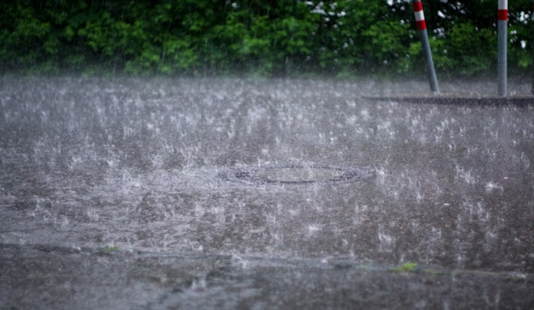
The National Weather Service (NWS) in Baltimore, MD/Washington DC has issued a Flood Watch effective this afternoon through this evening, cautioning residents about potential flash flooding caused by expected excessive rainfall. According to the NWS, a "widespread 1 to 2 inches of rain is expected, with embedded higher totals of 2 to 5 inches." The watch area covers the District of Columbia, and parts of Maryland, Virginia, and West Virginia.
Residents in the watch area are advised to stay aware of their surroundings and be prepared to swiftly move to higher ground if flash flooding occurs. The NWS statement highlighted that "numerous thunderstorms are expected to form and move across the Watch area this afternoon and evening." These storms may produce very heavy rainfall in short periods of time, potentially leading to dangerous flash flooding.
Furthermore, the NWS put forth a Hazardous Weather Outlook where isolated instances of flash flooding are considered possible today into the evening, coupled with scattered instances of damaging winds due to prevalent thunderstorms later in the day. The outlook applies to the Chesapeake Bay area, Tidal Potomac River, and I-95 corridor through central Maryland, northern Virginia, and the District of Columbia.
For continued updates and safety information, the NWS encourages the public to visit their website regarding flood safety and preparedness. They have stressed that "excessive runoff may result in flooding of rivers, creeks, streams, and other low-lying and flood-prone locations." Residents should monitor forecasts and should be prepared to take action in case Flash Flood Warnings are issued.
While the upcoming weather seems to put a damper on outdoor activities with showers and thunderstorms likely, especially after 4 pm today, the heavy rainfall is a point of concern for potential flash flooding. As per the detailed forecast, it’s not just about getting wet but being safe, as the NWS warns that some storms could produce heavy rainfall. The sky will mostly clear up heading into Wednesday, with chances of showers and thunderstorms reducing partially.
Looking forward, the weather outlook seems to brighten, with sunny and mostly clear nights expected starting Thursday and continuing through the Independence Day weekend. The heat index suggests that temperatures will remain hot yet seasonable with highs ranging from the mid-80s to mid-90s.


