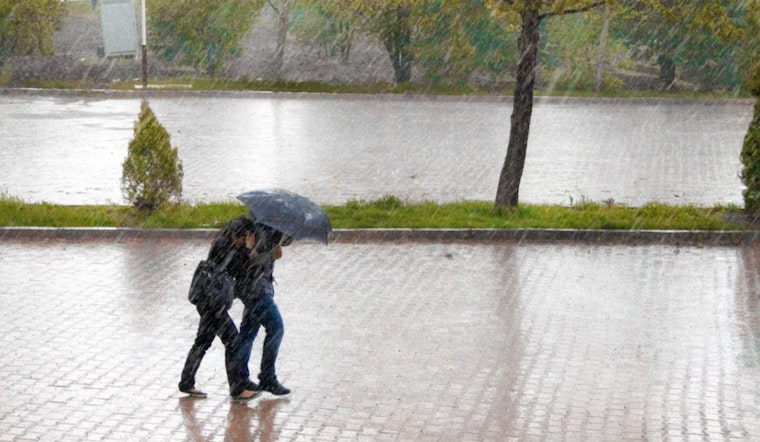
Houston residents are facing a stormy Sunday with the potential for heavy rains and localized flooding in various regions. The forecast suggests a 40 percent chance of showers and thunderstorms in Houston afternoon, with temperatures reaching a high near 92 degrees and heat index values peaking around 103. According to Click2Houston, "Brace for another round of heavy downpours this afternoon into evening, from noon to 7 PM, as we’re caught between two high-pressure systems fueling a stormy Sunday."
While Houston isn't currently under a flood watch, nearby cities such as Dallas, Austin, and San Antonio have been issued flood watches until 7 PM. Click2Houston notes that the larger area is at risk for a marginal flash flood that covers Katy, Bush, Brenham, The Woodlands, and Conroe. The regions to the southwest, including Kerr County, could experience isolated storms that may bring about 9–12 inches of rainfall over already saturated soils, increasing the risk of rapid runoff and potential flooding.
As per the National Weather Service, less than a tenth of an inch of new rain is expected generally in Houston, though this amount could rise in the case of isolated thunderstorms. Separately, Dallas and Fort Worth are under flood watch with predictions of 1–3 inches of rain, and isolated areas could see 4–6 inches due to storms. The weather pattern causing this intense precipitation is attributed to the jet stream's behavior, influenced by high-pressure systems positioned west and east of the region.
Looking ahead, Houston's 10-day forecast shows consistent high temperatures in the lower to mid-90s. After a period of sustained stormy weather, the city anticipates a respite with a string of dry, hot days slated for the upcoming week. This should provide an opportunity for residents to tackle outdoor activities that have been on hold due to the wet conditions. In addition to monitoring regional weather, authorities are keeping an eye on a trough of low pressure near the southeastern coast, which carries a 20 percent chance of cyclone formation and could affect the northeastern Gulf by Tuesday.
As summer storms continue to pose challenges, Houstonians are advised to stay informed and prepared. Essential resources, like the "2025 Hurricane and Flood Survival Guide," are available to provide guidance on navigating the potentially hazardous weather. Residents can access the survival guide and stay current with the latest updates by checking the appropriate channels and websites set up for community safety.


