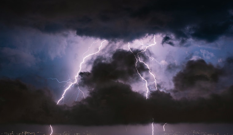
The National Weather Service in Jacksonville, FL, has predicted a week marked with sporadic showers and thunderstorms for the region. According to the latest update, today's weather is already heating up with a near 92-degree high and humidity sitting uncomfortably at 85%. However, the chances of precipitation jump from a likely 60% in the afternoon to a surer 90% for the following Wednesday afternoon, as reported by NWS Jacksonville.
Moreover, the week looks to remain consistent with this trend. The forecast details a 30 percent chance of showers and thunderstorms tonight, mainly before 9 pm, with lows expected around a mild 75 degrees. These patterns are slated to continue across the week with Thursday and Thursday night seeing similar chances of showers and thunderstorms—a pattern seemingly locked in place by the region's current weather system. The NWS forecasts that new rainfall amounts will generally be less than a tenth of an inch, with higher amounts possible in thunderstorms.
Residents can expect the unstable weather to persist through the Independence Day weekend. The forecast suggests mostly sunny skies but keeps a persistent probability for thunderstorms. With each day the chance of precipitation hovers around the 60-70% range until the start of the new week. Highs for the weekend will touch near 90, maintaining that Floridian summer heat despite the rainfall.
The evening of July 4 and the nights following look to continue that mixture of partly cloudy skies and scattered storms. Though the forecast indicates a slight chance of showers past the Independence Day fireworks, NWS Jacksonville emphasizes the potential for thunderstorms before 2 am on Friday night, suggesting that these lively patterns of rain and thunder are reluctant to ease up. As residents prepare for their week, they are advised to stay updated with the latest weather developments and take necessary precautions against the uncertain skies.


