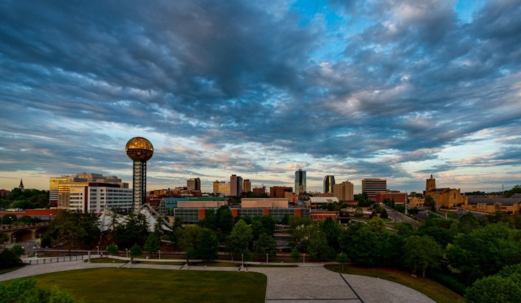
The National Weather Service in Knoxville has provided an update for the weather forecast that projects several days of sporadic showers and thunderstorms across the region, with the humidity hitting the ceiling at 100%. While mornings may start with fog and mist as seen earlier today, the afternoons are expected to be sunny and hot, with temperatures climbing towards the mid-'90s and heat index values potentially reaching as high as 99 degrees Fahrenheit. As we've seen this morning, the stillness of the air with wind speeds remaining calm, adds to the sticky quality of the day.
Knoxville residents can anticipate a 30 percent chance of showers and thunderstorms this afternoon, primarily after 5 pm. This marks the beginning of a wet weather stretch, with the National Weather Service forecasting a 50 percent chance of precipitation on Tuesday that is mainly set to occur after 2 pm. As the week progresses, those looking to venture outside may need to cautiously plan around the weather, as showers become more likely, and the potential for thunderstorms increases to more than 70 percent midway through the week. Despite the intermittent rain expected, nights are set to remain mostly clear with low temperatures hovering around the 70-degree mark.
According to the detailed forecast, Wednesday's weather will shift slightly with a 70% chance of precipitation, alongside showers and thunderstorms predicted to follow in the afternoon. This uptick in storm activity is looking to continue into the night, with a 60 percent probability of showers and thunderstorms before the early hours of Thursday. With each new day, the forecast seems to steadily escalate, reaching a peak on Thursday where the chance of showers and thunderstorms is said to stand at a stark 90 percent.
Looking further ahead, the forecast by the National Weather Service suggests that the unsettled pattern is set firmly to stay at least through Sunday. Each day, from Thursday to Sunday, presents a similar rhythm - showers likely before midday, possibly moving to thunderstorms in the afternoon, and evening projections that indicate a slightly lower probability of precipitation with varied intensity. The highs throughout the period are expected to stay below the mid-'90s but still sufficiently steamy as one typically expects in July. The community should be prepared for these conditions to persist, potentially impacting outdoor activities and complicating transit with varying visibility levels and wet roads.


