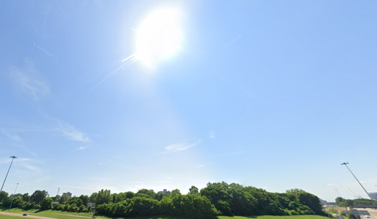
The National Weather Service in Memphis has extended an Extreme Heat Warning for the region, highlighting that residents should brace for dangerously hot conditions with heat index values up to 110, according to the official forecast. The warning impacts East Arkansas, North Mississippi, Southeast Missouri, and West Tennessee and is set to remain in effect until 8 PM CDT today.
With Memphis currently under partly cloudy skies and a heat index already rising to 87 degrees Fahrenheit, the reality of elevated temperatures is underscored by a humidity level of 72%. Residents are strongly advised to stay well-hydrated, seek refuge in air-conditioned environments, minimize outdoor activities, and ensure that no individuals—especially young children or pets—are left unattended in parked vehicles, where interior temperatures can escalate rapidly and pose serious health risks.
The forecast for the coming days includes a mix of partly sunny skies and chances of showers and thunderstorms, with heat index values likely to exceed comfortable levels, according to the NWS Memphis update. Beginning today, a slight chance of rain in the afternoon will do little to alleviate the heat, with a high near 96 degrees Fahrenheit and heat index values expected to rise even higher. Tonight will bring a slight cooldown, with a 30 percent chance of precipitation and temperatures dropping to around 73 degrees.
Looking ahead to the weekend, the National Weather Service forecasts sunny skies with a high near 88 degrees on Saturday, indicating more comfortable conditions. However, by Sunday, temperatures are expected to rise again, nearing 90 degrees under clear skies. As the new week begins, a pattern of heat and humidity will return, accompanied by scattered chances of rain. Residents are advised to stay alert, take precautions against the heat, and protect themselves from the risks of heat exhaustion or heatstroke.


