As temperatures soar in New Orleans, the National Weather Service has issued a heat advisory effective from 10 AM through 7 PM CDT today, July 21. Residents can expect heat index values to reach up to 110 degrees, posing significant health risks. The warning, according to the NWS New Orleans report, spans across parts of southeast Louisiana and southern Mississippi. It's not just a northern breeze stirring, but rather a cautionary tale urging the city's denizens to take preventative measures against heat-related illnesses.
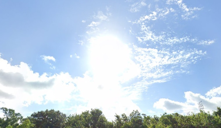
Currently, the weather boasts a façade of mostly cloudy skies with 85% humidity, and a soft south wind moving at 3 mph. While the dew point hangs at 77°F, making the air feel like a lingering embrace after a steamy shower. The day is expected to shine sunny with a high of 92°F, but the peace is deceptive, as the heat index—a measure of how hot it really feels— will vault to a scorching 105°F. "Hot temperatures and high humidity may cause heat illnesses," the NWS heat advisory warns, a stark insistence on vigilance in these blistering times.
Proactive steps, as recommended by the NWS, include drinking plenty of fluids, seeking air-conditioned spaces, avoiding direct sunlight, as well as checking on relatives and neighbors who might be vulnerable to the heat's oppressive clutch. The forecast suggests that clear skies tonight will bring a low around 78°F, but the relief will be short-lived with the mercury climbing again tomorrow, Tuesday July 22, threatening with a repeat performance of up to 105°F heat index values. Inhabitants must anchor their schedules in precaution, as the week's outlook promises more of the sun's unsparing scrutiny, especially after 1 PM each day when chances of showers and thunderstorms begin to sprout.
As we advance into midweek, Wednesday's forecast hints at a partly sunny backdrop with a high near 93°F, and a thrust in likelihood for showers and thunderstorms to 60%. The whispers of a northwestern wind at 5 to 10 mph might provide some solace, yet it stands as a mere backdrop to the looming certainty of precipitation. The elemental pattern persists into Thursday and Friday, with thunderstorms showing dominion before and after the stroke of 1 PM. Despite the slight dip to highs near 88°F, comfort remains a fugitive as the probability of storms intensifies to 90%, according to the NWS outlook.
As the weekend unfurls its plans, the tempest of warmth battles with periodic thunderstorms from daylight's rise to its rest. Saturday, barely relenting, promises showers and thunderstorms under mostly sunny skies with a high teetering near 89°F; come nightfall, a mere "slight chance" of thunderstorms is predicted, as per NWS. By Sunday, chances escalate anew, reaffirming this summer atmosphere as one of a contradiction, where rays and rains, heat and tempests, choreograph an unpredictable dance through the skies of New Orleans.


