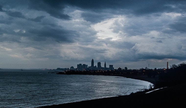
Ohioans are in for a dynamic weather weekend as the National Weather Service in Cleveland points toward a mix of high heat, potential severe storms, and a calming trend as we kickstart the new week. Weather forecasts tapped from the NWS Cleveland's Area Forecast Discussion lay out a pattern of shifting conditions that will impact the Ohio River Valley and surrounding regions in the coming days.
As the weekend beckons, a stationary front hugging the north of the Ohio River Valley is expected to stir up conditions Friday and Saturday before being shoved aside by an incoming low-pressure system. According to the NWS forecast, dewpoints will spike into the upper 60s and low 70s on Friday, setting the stage for "strong to severe wind gusts in convection that forms," especially if afternoon MLCAPE values hit the anticipated 1000-1500 J/kg range. The NWS warns that the eastern Ohio counties might see isolated convection due to low-level lapse rates of 8 C/km. All eyes are directed at the thermometer as well, with highs flirting with the upper 80s and lows resting uncomfortably in the sultry low to mid-70s.
Transitioning into Saturday, the aforementioned stationary boundary is on the move northward, and Ohioans will face a sultry air mass as a prelude to potentially vigorous convection across the western half of the County Warning Area (CWA). Bridling this unstable air, the NWS cautions that heat indices are expected "to be approaching the mid to upper 90s during the afternoon" – a signal for residents to prepare for oppressive warmth.
However, the NWS forecasts a shift come Sunday when a cold front should roll through the region, slowing down as it hits, possibly ramping up the specter of heavy rain and "strong to severe thunderstorms," especially where the day's warmth isn't dimmed by rain. The curtain falls on this act with high pressure taking over early in the week, ushering in drier conditions and cooling off the high heat to more moderate mid-80s, while night times dip into more manageable mid-60s. The quietude persists into the midweek before the rhythm of the weather takes another swing, with rising temperatures and precipitation chances stepping back into the fray by Wednesday night.
For mariners venturing onto Lake Erie, the script reads somewhat differently but no less impactful. While thunderstorms are a potential hazard, winds are expected "to be 10 knots or less through this afternoon," easing up navigation till they notch up slightly tonight and Saturday. Post-frontal winds on Sunday switch to the northwest, with Monday and Tuesday forecast to be kinder courtesy of benign high pressure.
With all these fluctuations, those in the Cleveland area and neighboring communities are reminded to stay weather-aware through the weekend. Be it by land or lake, changes on the weather front are worth keeping an eye on, and can make all the difference in planning for a safe and comfortable July weekend.


.jpg)