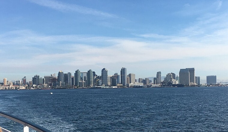
It's a mild summer in Southern California, as the National Weather Service in San Diego reports a week of high temperatures expected to swing between slightly below average and 5 degrees above the norm. Coastal regions and valleys can anticipate the usual pattern of night and morning low clouds, forecasted to persist late into the night.
The aftermath of the 8.8 magnitude earthquake off the Kamchatka Peninsula continues to show its effects on Californian shores, with tide gauges at Scripps Pier and Broadway Pier in San Diego registering the occasional fluctuation in water levels. While these fluctuations have been minor, they remind us of the interconnected nature of our planet, casting ripples across the vastness of the Pacific.
According to the latest briefing, temperature shifts are about to become more pronounced. "Strengthening high pressure aloft centered over New Mexico will bring warming of high temperatures of a few degrees each day," NWS San Diego detailed in their discussion. By next Thursday, coastal areas will experience highs from the mid-70s to low 80s, while the Inland Empire could see thermometers pushing into the 104-degree range, with the lower deserts hitting a scorching 112 to 116 degrees.
Maritime travelers can breathe easy as the NWS predicts smooth sailing – no hazardous marine conditions are expected through Tuesday. And for those drawn to the beaches, it's a gentle reminder that small, periodic fluctuations in water levels might still occur as the residual effects of the distant tsunami wane.
One can't discuss San Diego's weather without touching the city's temperamental climate history. The city's high temperatures have breached the 80°F mark on only four separate occasions this year, a stark difference from the sustained warmth of early September last year.
For aviation, the skies seem mostly clear. Coastal areas and western valleys will see low clouds and patchy fog until mid-morning, followed by clearer conditions.


