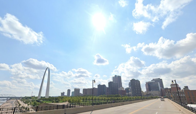
With summer in full swing, St. Louis locals can anticipate a week of classic Missouri heat, as the National Weather Service predicts a sequence of sunny days ahead with temperatures inching towards the mid-90s. According to the latest report from the NWS St. Louis, we're looking at a high near 93 degrees today, with calm winds providing little relief from the heat.
Tonight's forecast promises clear skies and another warm evening, with temperatures expected to hover around a balmy 73 degrees. A gentle breeze from the south may grace us, but it will provide only the slightest respite to those hoping for a cool down. Moving into Independence Day, residents should gear up for sun-drenched celebrations as the mercury is predicted to climb slightly higher, reaching 94 degrees, and calming winds in the afternoon might again fail to temper the sizzle.
Friday night will continue the trend with mostly clear skies and a low around 74 degrees, while Saturday will push the envelope even further, a sunny zenith peaking at 95. The light wind from the south coming in at 5 to 8 mph upon the morning might be the only hint of a breeze amidst the otherwise relentless heat.
The weather takes a mildly dramatic turn come Sunday, with a 30 percent chance of showers and thunderstorms in the forecast, primarily after 1 pm. Although the day will start sunny, with a high near 92, the potential for precipitation offers a slight, though not guaranteed, chance to diminish the scorching days we've been experiencing. As night falls, the skies will remain partly cloudy, and the low will level out at a similar 73 degrees.
Heading into the new week, Monday mirrors Sunday's prediction with a 30 percent chance of showers and thunderstorms amidst mostly sunny skies, and a high nearing 90. The pattern of warm nights and partly cloudy skies will persist, with lows around 73 degrees. For those tracking the chance of rain, Tuesday and Wednesday will offer a 30 and 40 percent likelihood, respectively, of showers and thunderstorms, providing scattered occasions for the heat to break, as per the NWS forecast.


