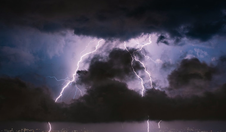
The National Weather Service in St. Louis has provided a forecast for the coming days, with an overcast morning leading up to potential showers and thunderstorms. According to the NWS latest update, which landed on our desks at the ungodly hour of 5:51 am CDT, St. Louis locals can expect a 40% chance of precipitation before 4 pm today. The temperatures are hovering comfortably in the low 80s, complemented by a soft north breeze, gusting to a more noticeable 20 mph.
Those looking to stargaze or perhaps enjoy a late-night chat on the porch will be pleased as the clouds part tonight, anticipating mostly clear skies with a cool low around 63. The NWS forecast indicates a continued respite from the rain with sunny conditions and highs inching above 80 through the weekend. But, come Monday, the likelihood of showers and thunderstorms sneaks back into the picture at 20 percent after 1 pm.
In a further glance ahead, Tuesday cooks up a slightly higher 30 percent chance of thunderstorms while temps turn up the dial to reach a high near 87. Folks will get, a break following the midweek downpour with Wednesday predicted to bring sunny skies and a high near 90 degrees to cap off the spectrum of the week's weather mood swings.
The weather may play it cool for now, but the NWS also has its eyes on the horizon, issuing a Hazardous Weather Outlook for a substantial slice of Missouri and Illinois. "There is a chance of isolated thunderstorms today," they caution, mapping a geographic swathe that curls around St. Louis and extends in all compass directions to cover a broad swatch of the bi-state region. As things stand, spotters can stand down, as NWS notes, "Spotter activation is not expected at this time."


