The Bay Area is bracing for a mix of weather conditions as we head into the weekend. According to the National Weather Service San Francisco, expect "patches of Moderate HeatRisk Friday through Monday for interior East and South Bays," as well as seasonally warm conditions. Moreover, elevated fire weather concerns are looming due to the forecasted warming and drying trend in conjunction with daily afternoon and evening breezes.
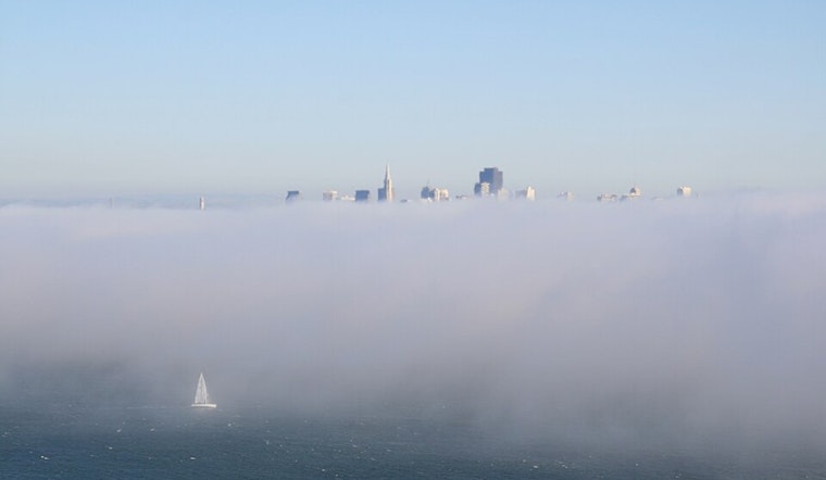
For the immediate, Thursday morning commute could get tricky around Monterey Bay and the San Mateo coast. NWS Bay Area advises "patchy dense fog being reported around Monterey Bay region and San Mateo coast. The patchy nature of #fog can lower visibility quickly and unexpectedly—slow down and stay alert!" Given that the fog could roll in without much warning, motorists will need to remain extra vigilant and possibly allow extra time to slowly and safely reach their destinations.
⚠️Heads Up for the Thursday AM Commute - Patchy dense fog being reported around Monterey Bay region and San Mateo coast. The patchy nature of #fog can lower visibility quickly and unexpectedly—slow down and stay alert! #cawx pic.twitter.com/laUlqA6eJE
— NWS Bay Area 🌉 (@NWSBayArea) August 7, 2025
Looking ahead, the National Weather Service alerts that temperatures in the Bay's interior will likely climb a few degrees and suggests that "for those who have to work in or are looking to enjoy the outdoors, be sure to practice heat safety." This means wearing sunscreen, taking breaks, staying hydrated, and checking the backseat before locking your vehicle. As the weekend approaches, those outdoor plans must be accompanied by necessary precautions to prevent heat-related illnesses.
Aviators should also be aware that low to moderate confidence in the timing of stratus clouds could affect flight plans. "Confidence is low to moderate in timing of stratus arrival this morning," reports the National Weather Service, indicating uncertainty regarding the movement of these low-level clouds. Conditions should improve by mid- to late morning, but pilots are urged to check the latest forecasts before flying out, as marine influences might yet compress the evening return of stratus clouds at coastal sites.
The National Weather Service has advised that winds will strengthen and seas could build up to 10 to 12 feet in the northern outer waters by Friday, potentially impacting marine operations. A moderate breeze is expected to settle in over the weekend, offering some reprieve from the earlier turbulent conditions.


