The National Weather Service in Denver has issued a forecast that suggests the city should brace for a series of showers and potential thunderstorms in the coming days. The forecast, updated earlier this morning, indicates a 50% chance of precipitation today, mostly after 2 pm, with moderate temperatures reaching a high near 80°F. Winds are expected to start light and variable before taking a northerly turn at 5 to 8 mph, according to the National Weather Service.
As the evening approaches, showers are likely to become more consistent, and there is a possibility of thunderstorms before midnight. The meteorologists have forecasted a low of around 59°F, with the wind easing down after sunset. The chance of precipitation ramps to 60% in the nighttime hours, offering the region some much-needed moisture after recent dry spells.
Looking forward to Monday's weather, Denver can anticipate a continuation of the overcast and damp conditions. The chance of showers and thunderstorms persists before noon, increasing in likelihood from noon to 3 pm, with another rise in chance thereafter. North winds reaching 3 to 6 mph under mostly cloudy skies, and a cooler high near 74°F, accompany a 70% chance of rainfall, consolidating the wet start to the week.
Residents should also prepare for a stormy Tuesday with similar conditions presenting a 60% likelihood of precipitation. It's predicted to be a mostly cloudy day with periodic showers and the possible rumble of thunder after noon, with a light south wind ushering in gusts that could reach up to 16 mph. As night falls, thunderstorms will continue to rumble, maintaining the hazard.
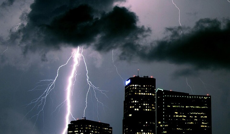
In a broader outlook, the National Weather Service's hazardous weather outlook warns of persistent scattered showers and thunderstorms throughout the week, with a small risk of severe weather conditions. While spotter activation is not anticipated, the weather pattern indicates an active atmosphere, urging the public to stay informed and prepared.


