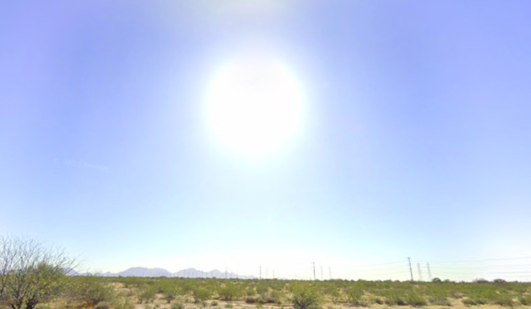
Phoenix is preparing for another stretch of hot, sunny days. Forecasts show temperatures climbing through the week, with Tuesday expected to reach about 108 degrees. Light morning winds will shift to stronger westerly gusts in the afternoon. While such heat is common for Arizona’s largest city, it’s a clear reminder of the region’s extreme summer weather.
According to the National Weather Service, Phoenix is seeing clear skies and 88°F as of the morning of August 17. Humidity is low at 22%, with visibility at 10 miles. Temperatures are expected to rise to around 104°F later today, with light winds shifting west by the afternoon.
Tonight in Phoenix will be mostly clear with a low near 84°F and light west winds. The week ahead brings hot, sunny days and mild nights. Monday’s high could reach 106°F, and Wednesday may climb to around 110°F. Rain chances stay very low, with only a slight 10% chance of showers or storms before 11 p.m. Wednesday.
Phoenix’s heat will continue into late week, with highs near 112°F on Thursday and 111°F on Friday. Rain chances remain low, with a 10% chance Thursday night and 20% Friday night. The weekend will stay very hot, with Saturday reaching about 109°F, according to the National Weather Service.
Local officials are reminding residents to follow heat-safety tips: stay hydrated, avoid being outdoors during the hottest parts of the day, and check on vulnerable neighbors. The extended forecast highlights Phoenix’s ongoing struggle with extreme summer heat and the need to stay prepared.


