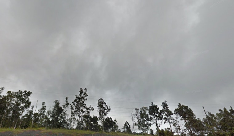
Honolulu residents can expect an uptick in cloudy skies and showers, as the National Weather Service reports a low-level trough moving through the area today, with predictions of the weather shifting back toward normalcy by the end of the weekend. According to the NWS Honolulu forecast, this trough will lead to weakened trade winds and increased cloud cover through tomorrow morning. By tomorrow, conditions will begin to clear up as high pressure builds back in across the region.
In the meantime, the forecast indicates isolated thunderstorms may develop over the interior of the Big Island this afternoon. While overall rainfall totals to date have been modest, the NWS anticipates a slight increase in showers, particularly along windward areas. The passing disturbance, associated with remnants from the tropical cyclone Ivo, also threatens to increase humidity levels from Sunday afternoon through Monday, with temperatures inversion heights rising to around 8,000 to 9,000 feet, potentially enhancing shower activity.
A return to drier conditions and moderate to locally breezy trade winds is on the horizons by early Sunday, creating a brief window during which trade winds and a stable upper-level ridge will dominate the skies over Hawaii. By Tuesday, these stable drying trends are expected to continue, lowering humidity levels and signaling a return to typical dry summer weather throughout the state.
Boaters and seafarers should note that a Small Craft Advisory may go into effect as soon as tomorrow morning, with conditions potentially holding through the weekend. The NWS alert points out a slight increase in surf along south facing shores beginning tomorrow, attributed to a series of small, long period southerly swells. For east facing shores, a small northeast swell will maintain elevated surf conditions through the weekend before declining.
Fire hazards appear low with the latest weather developments, with critical fire weather thresholds predicted to remain out of reach into early next week. However, additional moisture from the foreboded disturbances may alter on-ground conditions temporarily, with a larger increase in humidity and potential showers expected as the remnants of Ivo make their way through the islands.
No watches, warnings, or advisories have been issued at this time, but as the situation is fluid, residents and visitors of the Hawaiian Islands should stay up-to-date on changing weather conditions by checking the NWS Honolulu website or other trusted sources for the latest information.


