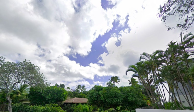
The National Weather Service reports that trade winds are returning to the Hawaiian Islands today, with less humid conditions expected to persist through Saturday. On Sunday, Tropical Storm Henriette is forecast to bring increased showers and higher humidity levels.
According to the National Weather Service, Tropical Storm Henriette, currently moving westward, is forecast to take a northwest turn and pass just north of the Hawaiian Islands this weekend. This shift in its path is expected to weaken the trade winds, increase leeward showers, and bring warmer, more humid conditions through early Monday. Normal trade-wind weather, with lower humidity and drier conditions, is forecast to return by Monday afternoon.
Aviation authorities should note that the trades are set to blow stronger today before dropping over the weekend courtesy of Henriette's flyby. Pilots flying windward and mauka slopes ought to be on the lookout for low clouds and showers; 'Mountain obscuration' and 'moderate turbulence' advisories are currently in effect for some areas, the NWS cautions. As Henriette cruises by, expect the winds to ease up considerably through early next week.
The remnants of Tropical Cyclone Gil have moved away, and stronger trade winds are returning. A Small Craft Advisory is in effect for certain bays and channels until this afternoon. A south-facing swell is expected to reach advisory levels and may approach High Surf Warning criteria by Saturday. Low-lying coastal areas may experience minor flooding through Sunday afternoon due to elevated water levels combined with high tides and the south swell.
While trade winds are breezy and dewpoints are expected to drop toward the upper 60s today, conditions are expected to remain below critical fire weather thresholds. Minimal fire weather concerns are anticipated from Saturday onward as winds decrease and humidity increases. A High Surf Advisory and Small Craft Advisory remain in effect.


