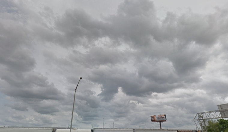
The weather in New Orleans is expected to be characterized by intermittent showers and thunderstorms in the coming days, according to the latest updates from the National Weather Service. Commencing today, there's a 40 percent chance of rain mainly between late morning and afternoon, despite a mostly sunny forecast, with highs inching close to the 88-degree mark. An eastbound breeze persists through the day, mild in its consistency at 5 to 10 mph.
As the night falls on this humid city, skies are predicted to remain mostly clear, offering some solace from the day's heat with temperatures holding steady at 77 degrees. Calm winds will take over, following a gentle eastward flow. It seems the bayou is not completely done with the rain, however, as tomorrow promises a 60 percent likelihood of showers and thunderstorms, particularly between the early afternoon and evening hours, with less than a tenth of an inch in rainfall expected barring any surprise torrential thunderstorms.
The rhythm of rain plays on into Sunday, with the chances of precipitation escalating to 80 percent. The familiar temperatures near 88 degrees offer little variation from the past days. While the East wind continues its pattern at 5 to 10 mph, residents and visitors of the Big Easy should take heed of potential showers and thunderstorms, especially during the hour-exchanges of the early afternoon and near sunset.
Looking ahead to Monday through Thursday, the forecast paints a recurrent theme of showers and thunderstorms, with probabilities fluctuating between 30 and 80 percent during different parts of these days. Whether opting to stroll under the balconies of the French Quarter or venture beyond into the parishes, knowing the weather plays a crucial part, with highs hovering around the same, at 87 to 91 degrees. Meanwhile, nights offer a consistent pattern, partly cloudy, with lows in the high 70s.


