San Francisco residents can expect a cooler weekend, but they should be ready for the heat to ramp up again next week. The National Weather Service San Francisco reports that the coastal areas will feel the chill a bit longer, thanks to an enduring marine layer and onshore winds. Drizzle and very light rain could grace coast-side towns, keeping the weekend temperatures below what's usual for this time of year through Tuesday.
According to the NWS, a high-pressure system will meander westward starting mid-week, reducing the onshore flow and confining the marine layer closer to the coast. Interior regions are advised to brace themselves for a warmer shift, with temperatures set to soar. Potential Moderate Heat Risk conditions are on the radar inland. A rise from the 50s along the coast to the scorching 90s and possibly low 100s in the far interior is quite a leap.
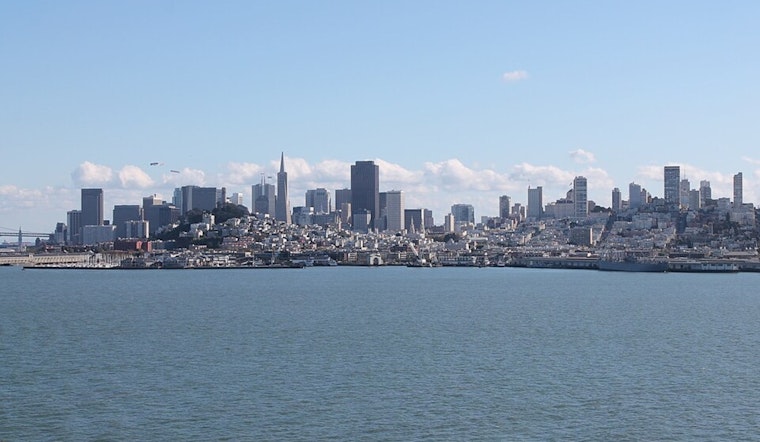
Rising temperatures and oceanic dynamics are stirring up the tides. "The astronomical set up will give us a bit more movement in the tides into the next week," the National Weather Service advised, as high tide levels chase dangerously close to coastal flooding benchmarks. Although no coastal flood advisories are issued, visitors heading to the San Francisco Bay shoreline may encounter higher-than-normal tides to escape the escalating heat.
As per the NWS' Area Forecast Discussion, Bay Area aviation might face a bit of turbulence with "a mixed bag of LIFR-VFR at the terminals" and forecasts complicated by the persistent stationary front. Mariners aren't spared either; sea breezes trigger widespread small craft hazardous conditions. "Moderate to fresh northwesterly breezes will prevail through Tuesday," and as winds pick up by mid-week, expect rougher seas for the outer waters, so boaters, heed that small craft advisory and stay vigilant, as conditions are forecasted to intensify.


.jpeg)