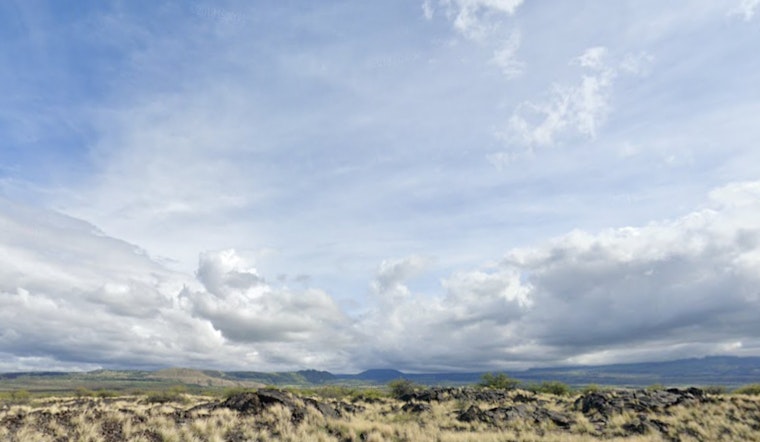
Honolulu residents and visitors can expect a shift in weather patterns throughout the weekend and into next week, as detailed by the National Weather Service (NWS) in Honolulu. The island chain will see a return to stronger trade winds today and into early Sunday, while an increase in cloud coverage and showers, particularly windward and mauka areas, is on the horizon thanks to a low-level trough approaching from the remnants of former Tropical Cyclone Ivo. By Tuesday, a return to drier conditions and stable trades is forecast to resume.
According to the NWS Honolulu Weather Forecast, a trough just north of the islands is driving the current weather shift, delivering increased clouds and isolated showers moving across the islands today. The NWS also expects the trades to become "moderate to locally breezy" as a surface ridge builds, a change commencing imminently. A separate trough connected to the remnants of Tropical Cyclone Ivo will follow, bringing an uptick in humidity and enhancing clouds and showers starting Sunday afternoon into midday Monday. The confidence in the trough's path, however, remains cautious, with potential deviations possibly affecting the forecasted weather.
Moving onto aviation, the light trade winds that are making their presence felt this morning will be replaced by stronger winds later in the day. While patchy clouds and showers may lead to momentary periods of MVFR conditions in the usual spots, the overall outlook remains clear with predominantly VFR conditions.
For marine interests, slight adjustments have been made to the wind forecasts, with the possibility of a Small Craft Advisory (SCA) coming into play by the day's end, as mentioned by the NWS. Surfers on south-facing shores can anticipate a "slight bump" in surf, while northeast swells are expected to uplift surf along east-facing shores over the weekend. As for those looking to catch waves on north-facing shores, the forecast is less promising, with anticipated conditions to stay rather uneventful aside from exposure to the northeast swell.
When considering fire weather, the outlook remains below critical thresholds until early next week. The approaching low-level trough and subsequent disturbance from former Tropical Cyclone Ivo suggest increased humidity and showers are forthcoming Sunday to Monday. However, the NWS expects more stable weather to make a comeback starting Tuesday when high pressure rebuilds over the Hawaiian Islands.
Lastly, there are currently no HFO Watches, Warnings, or Advisories in effect. That said, as these conditions evolve, residents are urged to stay updated through local forecasts and advisories for the most accurate and timely information.


