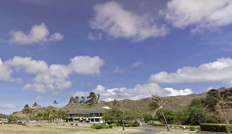
Honolulu locals and tourists alike can look forward to a stretch of dry and stable weather, as the National Weather Service (NWS) reports that light to occasionally moderate trade winds will be the norm for the coming days, providing relief from the tropical heat without much chance of significant rain. While a slight uptick in moisture may bring increased rain chances to Big Island and Maui County early next week, any precipitation will likely be light, primarily affecting the Kona slopes of Big Island and the higher windward mauka terrain.
According to the NWS forecast, the islands are currently under the influence of a slightly stronger than normal upper to mid-level ridge, this pattern is expected to keep conditions stable heading into the weekend with pockets of low-topped warm clouds dotting the skies, radars are showing minimal shower activity this morning with only light showers expected to form predominantly in windward upslope areas or along leeward sea breeze boundaries, which is in line with the generally lower than normal precipitable water values recorded in morning soundings.
Clear skies should largely continue, with the exception of a looming slug of tropical moisture that could potentially enhance showers along Kona and Kau slopes Sunday to Monday. Trade winds, tagged as light to moderate, are anticipated to be consistent throughout the state this week, with VFR conditions prevailing for the aviation sector and no AIRMETs issued due to the overall favorable weather conditions.
In terms of ocean conditions, surfers should note that south-facing shores are set to peak in surf today, which is typical for the summer season, before receding over the weekend and returning to baseline early next week, meanwhile, a small short period of swell from the north is expected to hit by this weekend and will be followed by a longer period northwest swell generated near Kamchatka, potentially raising surf levels to the September average, the announcement of these conditions comes amidst forecasts of a developing low far north of the islands that has relaxed the pressure gradient, which affects the trade winds strength.
On a related note, coastal dwellers should be aware that peak monthly high tides mixed with water levels running above predictions may lead to minor flooding in shoreline areas and low-lying coastal regions later in the week, especially during peak tides in the afternoon hours. As for fire weather conditions, despite weaker trades, the National Weather Service states that "inversion heights will typically range between 6k to 8k feet," which should maintain fire weather thresholds below critical levels during peak afternoon warmth of areas that fall below 50% RH.


