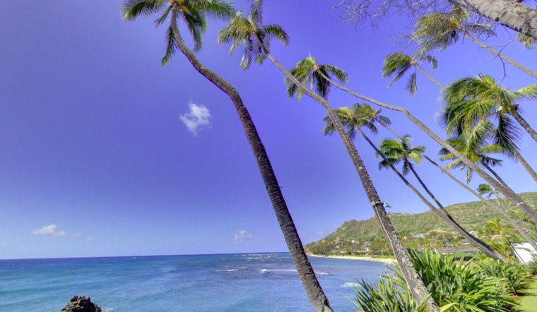
Honolulu residents can expect more breezy and dry weather, says the National Weather Service. A high-pressure system to the north and a low-pressure system to the south are keeping trade winds strong. These winds may bring a few clouds and light showers to windward and mountain areas, but leeward areas should stay mostly dry.
The National Weather Service reports the presence of an inversion layer between 5,000 to 6,500 feet, which contributes to the stability and leads to strong, localized winds in areas like the Kohala Districts of the Big Island and central Maui, with a Wind Advisory in effect through this afternoon and shallow moisture pockets bringing light rainfall accumulations mostly to windward slopes. The trade winds are anticipated to decrease starting Sunday through Tuesday as the high-pressure system gradually shifts eastward and the local pressure gradient weakens; this should maintain the standard pattern of windward and mauka showers with little organized moisture foreseen in the guidance.
Looking ahead in aviation, the breezy conditions are expected to hold into the weekend, backed by high pressure far north and northeast of the islands and a low pressure system to the southwest, which will continue to support VFR conditions with the chance of intermittent MVFR conditions from passing showers mainly in windward and mountainous locations, especially during nighttime and early mornings. Turbulence is also a consideration, with the NWS issuing an AIRMET Tango for moderate to severe turbulence in specific areas around the islands.
Marine activities too are under advisories with the Small Craft Advisory remaining in effect through tonight for several zones around Maui and the Big Island, and then focusing on traditionally windier areas through Sunday as the trades begin to ease; meanwhile, surf conditions along south and east-facing shores are projected to be elevated, though the High Surf Advisory has been canceled for now and north facing shores stay almost flat, a small northwest swell courtesy of Typhoon Krosa may bring a slight increase in surf from Sunday into the new week.
For those concerned with fire weather conditions, the NWS cautions that the islands are still experiencing critical levels due to the gusty and dry trade winds maintaining relative humidity between 35 to 45 percent in certain areas, though this situation is expected to improve somewhat starting Sunday as these winds start to die down. Current advisories remain in place, affecting a large swath of the Hawaiian islands, including Red Flag Warnings and other cautionary statements for marine and aviation sectors.


