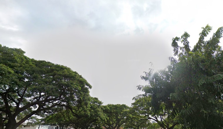
Honolulu residents, brace yourselves for a mix of weather patterns this week, with the National Weather Service predicting a seesaw of conditions starting from breezy trade winds to increases in cloud coverage and showers followed by a drying trend. According to the latest forecast, a high-pressure ridge north of the Hawaiian Islands is set to maintain moderate to breezy trades today, but a low-level trough is expected to shake things up by tomorrow.
Tomorrow's weather shift will bring a dip in trade wind strength and an upturn in afternoon sea breezes across leeward areas, the skies are expected to fill with clusters of clouds as showers become more frequent from east to west as the trough travels down the island chain. By Friday, as reported by NWS, a stable upper ridge will assert itself, bringing down clouds and showers and ushering in dryer conditions through Sunday morning.
However, another bout of moisture is on the horizon for the weekend. The remnants of former Tropical Storm Ivo will bring increased humidity levels, clouds, and showers to the islands from Sunday into Monday, pushing temperature inversion heights to around 8,000 to 9,000 feet, contributing to local variations in weather impacts across the state. By Tuesday, a high-pressure ridge is expected to reclaim control, leading to lower humidity levels and a return to more typical dry summer conditions mid-next week.
Aviation and marine activities will also feel the effects of the shifting weather patterns; with moderate to breezy trade winds anticipated tonight, NWS forecasts mainly VFR conditions except for brief passing showers a Small Craft Advisory remains in effect for Maui County and the Big Island until this evening. As the week progresses, surf along eastern shores will witness a slight uptick while north facing shores will likely see minimal action.
Regarding fire weather conditions, things are forecasted to stay below critical thresholds into early next week, although the coming disturbances could result in a heightened risk. The NWS advises that despite a slight increase in clouds and moisture with the passing low-level disturbances, the likelihood of critical fire weather conditions developing is low, with a return to drier weather anticipated by the following Tuesday.


