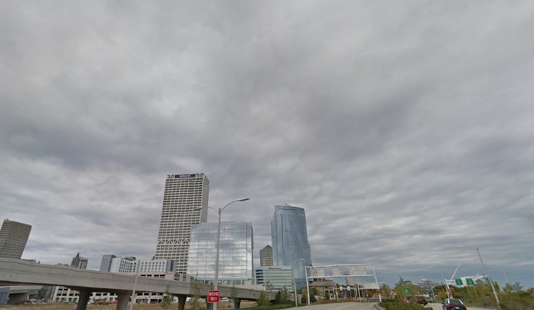
As Milwaukee residents look to the skies, they can expect to see mostly cloudy conditions with modest temperatures lingering at 58°F. According to the National Weather Service Milwaukee/Sullivan WI, today's forecast includes scattered sprinkles after noon, with the day's temperature to rise comfortably to a high near 75, carried by a subtle southwest wind shifting east.
Tonight's outlook brings partly cloudy skies, preparing to gently cool down to a low around 60. Looking further ahead, Thursday promises to largely deliver sunshine and a similar high near 74, but the weather patterns have been forecasted to slowly shift, bringing in a 20 to 30 percent chance of showers and thunderstorms as the weekend progresses. The meteorological narrative here suggests that while Friday plans to stay mostly sunny with temperatures climbing close to 78, this calm could give way to potential showers and thunderstorms developing after 1 am Friday night.
The NWS has also issued a Hazardous Weather Outlook encompassing areas from Marquette to Kenosha, where an isolated thunderstorm may occur this morning west of Madison. Moving through the week, the risks seem to simmer down, but residents are advised to stay vigilant for possible thunderstorms later Friday night into Saturday night, with small chances spilling into early next week.
Despite the potential for inclement weather on the horizon, the serene guile of the skies over Milwaukee holds for now. The remainder of the work week appears to be dry and sunny, with highs steady in the mid-70s. "Spotter activation will not be needed," suggests the weather service, hypothetically putting at ease any weekend plan concerns for now. Yet, as Milwaukeeans may look forward to temperate and mostly pleasant days ahead, it's clear that attentiveness to the capricious nature of early fall weather should not be, to entirely dismiss.


