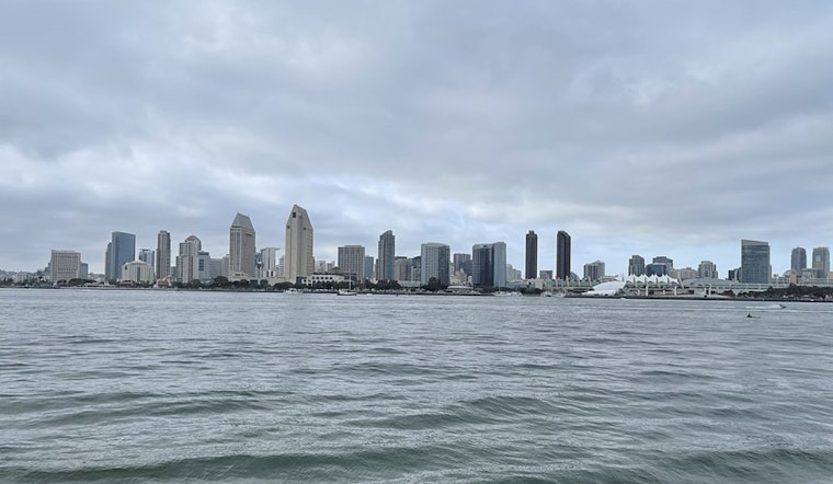
Orange and San Diego County beach-goers, watch for elevated surf from Sunday through Tuesday. The National Weather Service San Diego has issued a Beach Hazard Statement due to heightened waves and strong rip currents. For those looking to cool off inland, temperatures are expected to be slightly warmer today but remain below normal by 3-7 degrees, according to NWS San Diego.
On Tuesday, a weak trough will bring cooler temperatures as it passes through the area. The marine layer is hanging tight with patchy low clouds, slow to develop, mainly lingering over San Diego County this morning. "Marine layer low clouds are very slow to develop this morning with only patchy coverage in San Diego County, elsewhere skies are clear," states the most recent Area Forecast Discussion from the National Weather Service San Diego. Soak up the minor warmth while it lasts; a gradual cooling trend is approaching.
Looking forward to the weekend, a shallow marine layer could lead to gradual warming from Wednesday through Saturday, with a slim chance of developing weak offshore flow Saturday morning. However, another temperature dip is expected early next week with a deeper marine layer. The NWS discussion outlines a mixed bag forecast: "Ensemble solutions diverge beyond Thursday with the progression of the upper trough." Some warming is coming, but don't expect a full-blown heatwave soon.
For those taking to the skies, expect coastal low clouds with bases hovering between 1200 and 1800 feet MSL through Tuesday. Pilots, remember that visibility could be reduced in valleys and higher coastal terrain, with local visibility reduced to 0-5SM. Inland, VFR conditions are anticipated to prevail. Off the shore, you won't be running into any hazardous marine conditions through Friday, according to the same NWS report.
Remember, the combination of surf and currents is nothing to scoff at. Surfs could reach 4-7 feet with sets rising to 8 feet on south-facing beaches. "South swell at 4-5 feet with a period of 12-13 seconds will continue to produce elevated surf and a high rip current risk through Tuesday," indicates the Beach Hazards Statement. While the elevated surf is expected to subside somewhat by Thursday, strong rip currents could still be a concern.


