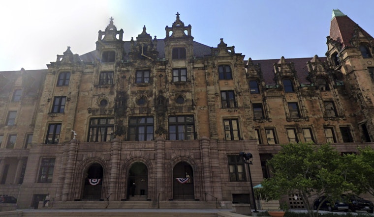
Following the severe weather disaster on May 16 that impacted the City of St. Louis, FEMA, in collaboration with the U.S. Department of the Interior and the Missouri State Historic Preservation Office (SHPO), has begun an architectural historic survey of damaged city structures and residential homes. The initiative aims to assess and document the storm’s impact on the community’s historic fabric. According to the City of St. Louis announcement, the survey’s purpose is to identify historic properties under the National Register of Historic Places (NRHP) criteria and support restoration efforts in the affected neighborhoods.
The announced project involves taking photographs of the exterior front and sides of buildings, specifically pinpointing their architectural styles and documenting the damage wrought by the storm. All exterior photographs, for residents' privacy, will be taken from the public right-of-way. No personally identifiable information will be gathered during the process. This step is part of FEMA's plan to thoroughly evaluate properties or historic districts listed or eligible for listing on the NRHP.
FEMA is requesting comments from the St. Louis community to better assess the survey’s impact on the area. Community members who want to share concerns about the survey or historic buildings affected by the disaster should contact FEMA directly.
Comments can be emailed to FEMA’s Regional Environmental Officer at [email protected] with the subject line “FEMA-4877-DR-MO St. Louis,” or mailed to the officer at the FEMA Region 7 office. For more details about the survey, residents can visit the official announcement on the City of St. Louis website.


