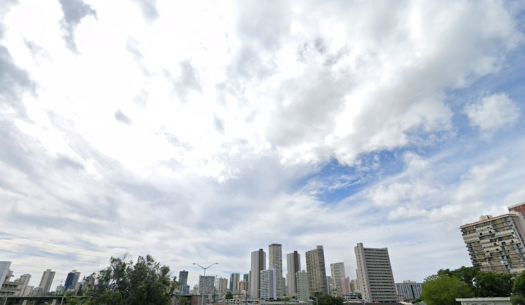
Honolulu residents can expect a shift in their usual weather patterns over the coming days, as per the National Weather Service (NWS) in Honolulu. A low-pressure system developing far to the northeast of the Hawaiian Islands is expected to gradually weaken trade winds starting today and continuing into tomorrow. This atmospheric interaction is forecasted to direct showers towards windward slopes and bring heavier, isolated showers to the Big Island's Kona slopes in the afternoons and evenings. For the most leeward areas, shower activity is predicted to remain minimal, with the exception of some scattered precipitation.
According to the latest NWS forecast, the high-pressure area that was sustaining trade winds has been diminished by a front approximately 700 miles north of Kauai, which will also bring a slight instability to the region. While moisture isn't significantly organized within the trade wind flow it's likely that the instability could lead to another spell of heavy showers particularly on the Kona slopes later today despite most areas experiencing less than a half inch of rainfall.
As Thursday approaches, the situation evolves with a northward-drifting low-pressure system disrupting trade winds, as revealed by both the GFS and ECMWF models. This low may push a band of deeper moisture near Kauai, increasing the chance for heavy showers and potential flooding on the island through Saturday. The rest of the island chain will have lighter southerly flows and experience a land and sea breeze pattern that can result in spotty afternoon showers. Although there won't be a substantial rise in dew points, a humid feel will persist due to the lack of trade winds.
For aviators, VFR conditions are expected to dominate, with showers predominantly affecting north through east sections of the islands, and with trade winds becoming gentler as a cold front makes headway southeast, no AIRMETs are currently in effect. Mariners will notice a dip in the usual trade wind speeds from Thursday through Sunday due to the developing low-pressure system. Surf along south-facing shores should remain near seasonal averages with an incoming small south swell, a distinct swell direction compared with the potential north swell generated by the trough northeast of Hawaii, which could influence surf heights along north- and east-facing shores later this week.
On the fire weather front, reduced rainfall over most leeward areas doesn't seem to elevate risk above critical thresholds; lighter winds expected from Thursday will come hand in hand with afternoon sea breezes that may maintain these benign conditions. Lastly, the NWS confirms there are no current watches, warnings, or advisories in place for the Honolulu area.


