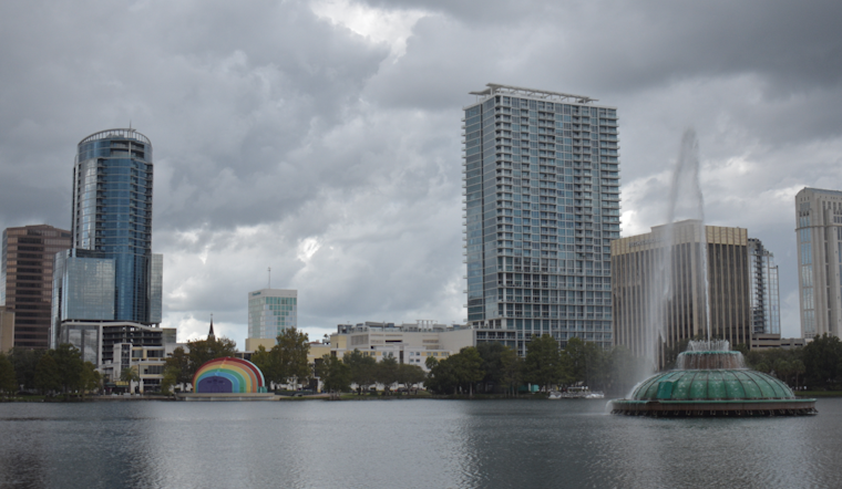
Orlando residents should brace themselves for a streak of intense weather, as forecasters signal a tumultuous week ahead. The National Weather Service in Melbourne has stated that a period of unsettled weather is expected to set in today due to a weak surface boundary inching its way across East Central Florida and an impending stalled cold front. With an escalated risk of heavy rain and minor flooding, the forecast issues a clear warning for potential weather-induced disruptions.
A spotlight has been cast on the Orlando area, with the National Weather Service outlining a sloppy mess of weather conditions that extend through the weekend and well into the next week. The mix of high humidity and temperatures lingering in the upper 80s to mid-90s will bring heat index values peaking at 100 to 105 degrees. To add, the unstable weather may also lead to more frequent lightning storms accompanied by gusty winds, they warned.
The marine outlook is equally grim, with very high rain and storm chances forecast through at least mid-week, as per the aviation advisory issued. Boaters are especially advised to stay alert for sudden weather shifts, even though the seas are expected to remain at a modest 1-3 feet. This volatile situation is exacerbated by the possibility of disturbances developing along the boundaries, which could further complicate marine conditions.
Adding to an already complicated forecast, the region's aviators face uncertainty as well. The forecasted "ISOLD/SCT convection" may necessitate changes in flight planning and operations. With the potential for storms slowing down and nearly stalling where multiple boundaries converge, the National Weather Service advises caution and regular monitoring for updates. All in all, the coming days in Central Florida could become, as forecasters put it, the sloppy mess becomes sloppier.


