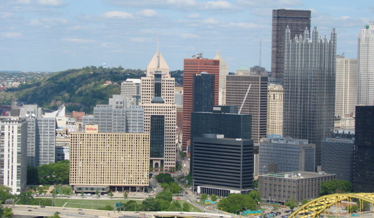
For those in Pittsburgh anticipating some relief from the heat, you might want to keep those fans running a little longer. According to the National Weather Service in Pittsburgh, high pressure is set to maintain warm and dry conditions into the weekend, with temperatures soaring above the norm for this time of year. Highs this afternoon once again reach the low to mid 80s, states the forecast, although the higher elevations east of Pittsburgh may be slightly cooler due to denser cloud cover.
Despite a stray shower or two in the mountain ridges this morning, it's mainly sunglasses and sunscreen as the week progresses, temps will continue climbing to about 10 degrees above average, mid-80s across the board except for those out at I-80 north, where slightly better cold air following a weak frontal passage on Friday should keep things just a touch cooler, yet still 5 degrees above what you'd expect. The possibility of patchy river valley fog in the late night and early morning hours shouldn't be surprising, given the calm winds and clear skies following the clouds' departure.
The outlook for the weekend doesn't look any more promising for those wishing for rain, with the dry pattern continuing into the weekend with high confidence, as emphasized by the forecasters, amidst concerns about drought. It appears that even the weak frontal boundary slinking by on Friday won't be enough to bring significant moisture to the region, leaving gardeners and farmers alike crossing their fingers for a change in the pattern.
Travelers and locals can expect VFR persists under the influence of high pressure with localized river valley morning fog through Saturday, which may impact early morning flights but should clear up quickly, giving way to mostly clear skies for those with travel plans or simply looking to enjoy a day aloft, says the National Weather Service, approach of an upper level shortwave may foster low probability rain/sprinkle chances Sunday/Monday favoring locations NW of Pittsburgh, but VFR is likely to persist. In terms of what's in store early next week, the prognostication becomes a bit murkier, with minimal rain chances slated to return, though the likelihood of a widespread wetting rain is low, leaving uncertainty in the air alongside the drier forecast.
For now, no advisories or warnings are issued for Pennsylvania, Ohio, or West Virginia, indicating clear skies ahead, but keep an eye out as conditions evolve. Stay updated by checking back regularly with the National Weather Service for the latest forecast information.


