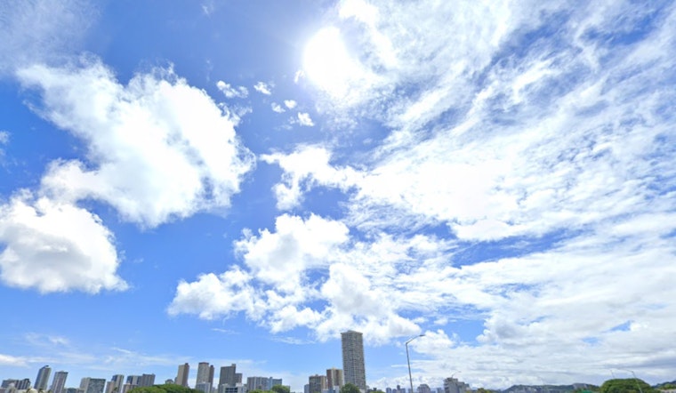
Honolulu enjoys a spot of warm and breezy weather, but the forecast hints at a change in the breeze with Tropical Cyclone Kiko on the horizon. According to the National Weather Service Honolulu, the state will stay under a stable weather pattern for the next few days. However, limited showers will be primarily confined to windward upslope mauka and within higher terrain, giving locals a chance to soak in some sunshine before the weekend. But it's the looming presence of Kiko that's got meteorologists on their toes.
With Tropical Cyclone Kiko projected to swing into the state's eastern offshore waters early next week, there’s a mix of anxiety and uncertainty in the air. Forecasters are watching closely as a large amount of uncertainty exists about the storm's potential impact, especially since it could bring significant rainfall that may lead to flooding. As the forecast becomes clearer, residents have to be prepared to possibly buckle down for some inclement weather soon.
The current weather situation is the result of an upper ridge axis extending from mid to upper ridging centered about 1,200 miles northeast of Big Island, as per the National Weather Service Honolulu. This has kept the weather dry over the eastern half of the state, a relief to sun-seekers but not so much for those craving some rain.
Marine conditions in the area are also subject to change, with gentle to locally fresh trade winds expected to give way to something potentially more forceful. Surfers and marine enthusiasts should note that Hurricane Kiko, approximately 1700 SE of Honolulu, continues to track westward in the Eastern Pacific, and could make a significant splash early next week. While water levels running higher than predicted may lead to minor flooding along the shore, waves are about to get more interesting, with the potential to reach "High Surf Advisory criteria," as stated by the National Weather Service Honolulu.
Back on land, the dry conditions are keeping the fire weather awareness high. Afternoon humidities will likely briefly fall into the upper 30s to middle 40s under these dry, warm conditions. Luckily, winds are on track to remain below critical fire weather thresholds for at least the coming days, assisting in the prevention of any ignitions. Keep an eye out for any updates on Tropical Cyclone Kiko, and enjoy the stable weather patterns while they last.


