San Diegans can expect a slight reprieve from the heat today with temperatures hovering below average, though the week will trend warmer. Monday's highs will be close to the seasonal norms, rising above average by Tuesday as the region begins to warm, according to NWS San Diego.
The Area Forecast Discussion by National Weather Service San Diego, CA, provided a detailed synopsis of the weather ahead, stating, "Slightly below normal temperatures today. A slow warming trend will bring near normal to above normal temperatures for Monday through Wednesday." This uptick in heat will be accompanied by a shallower marine layer, limiting clouds to coastal and western inland valley areas during the night and morning hours.
Elevated moisture from the tropics could reach the area as early as Tuesday, but the chances for showers and thunderstorms will remain marginal until Wednesday. The forecast indicates that, from Wednesday onward, increased moisture and instability could lead to afternoon and evening thunderstorms, primarily affecting the mountains and deserts.
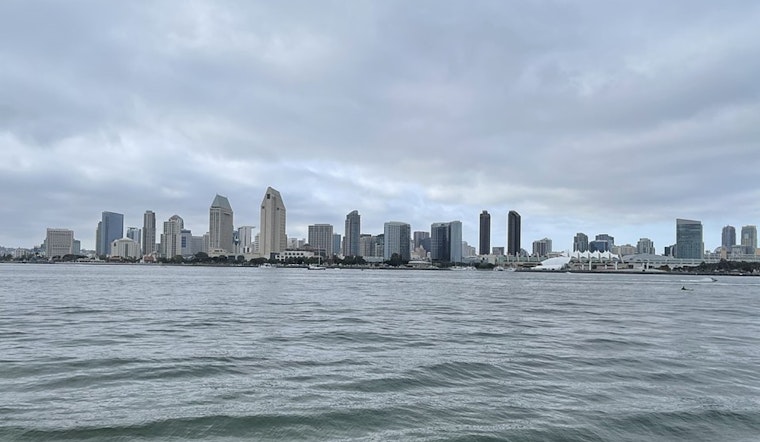
Aviation enthusiasts and travelers can expect mostly clear skies, with "Patchy low clouds based 1500-2000 ft MSL along the south San Diego and Orange county coasts," according to the National Weather Service forecast. Inland skies will clear by late morning, maintaining VFR conditions through the night. Mariners, too, can sail easily as "No hazardous marine conditions are expected through Thursday," a boon for those planning to hit the waters.
While the marine layer is projected to thin early in the week, creating more sun visibility for beachgoers and those hitting the inland valleys, a resurgence in cloud cover could occur later in the week due to an influx of tropical moisture. Such conditions might lead to significantly cooler temperatures, possibly up to 10 degrees below the usual for some inland areas by next Sunday.


