The National Weather Service's forecast has our familiar fog taking a turn for the wet as a trough moves into the state by late Sunday, expected to linger through midweek. According to NWS San Francisco, cooler temperatures are on the horizon, along with the potential for showers. Specifics about rain amounts and possible thunderstorms are still up in the air, but we're encouraged to keep an eye on updates. In the meantime, the mercury is set to take a dip, giving us a break from any unseasonable warmth we've been experiencing.
The cooling trend will continue, and while we're set for a chillier ambience, our skies could be drippy come early next week. "There is more confidence is the temperature forecast, with highs dropping 5-10 degrees below normal by early next week," the NWS details in its Area Forecast Discussion. Uncertainties aside, NorCal might want to keep umbrellas close as parts north of the Golden Gate could see over a tenth of an inch of precipitation, a phenomenon ushering in a soggy but novel start to our week.
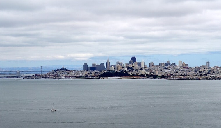
The forecast has specific implications for those with eyes on the sky or taking to the high seas. NWS predicts widespread stratus and some coastal drizzle Saturday morning. It's a rinse and repeat deal, with stratus planning a comeback each evening through to the weekend. "Onshore winds are ushering widespread stratus /MVFR-IFR/ inland," as the early morning aviation discussion noted.
Mariners aren't left out of the chatty weatherscape, as the forecast throws in moderate to fresh northwesterly breezes across coastal waters. However, "Northwesterly breezes will be gentle to moderate this weekend and into early next week", the NWS mentions, suggesting calmer sails ahead. Seas are projected to roll moderately through Tuesday, giving seafarers a needed break from any choppy contretemps nature might have in store.
No advisories are in place for the Bay Area's land dwellers, but there is a Small Craft Advisory in effect for coastal waters near Monterey until the wee hours of Saturday.


.jpg)