San Franciscans should brace for a few gloomy days ahead as light rain and cooler temperatures come into play this week. According to the National Weather Service in San Francisco, commuters in the Bay Area can expect varied conditions, including the typical marine layer and some rain showers that mark the season's first cold front.
"The marine layer will expand through the day as low pressure approaches the coast," the NWS San Francisco reported. The anticipated drizzle and low-lying clouds will likely bring temperatures down a few degrees from their normal range. In an unusual turn for a warmer time of year, "below normal temperatures" are forecasted through the week. Although not significant in volume, rain with "only expecting around 1/10" of rain in the warm sector may still bring a damp note to early fall outdoor plans.
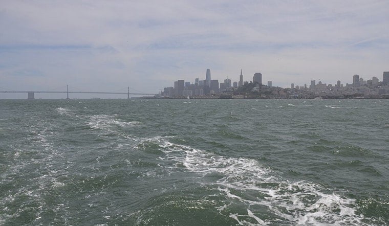
Even as the cold front slowly advances towards the coast, the NWS strikes a note of caution for mariners. Fresh winds are expected to breeze up conditions from Tuesday into Thursday, making for choppier marine experiences. While light rain is expected tonight and Tuesday morning, "convection possible during the afternoons of Tuesday through Thursday," the National Weather Service added, increasing with latitude.
For a more immediate outlook, the detailed forecast for San Francisco shows a 40 percent chance of rain tonight, mainly after 11 PM. Despite the potential for precipitation, the high temperatures are expected to linger around the low 70s. "Mostly cloudy, with a low around 63," the forecast reads for tonight. If hoping for sunnier days, the outlook indicates a shift towards clearer skies later in the week, with "mostly sunny, with a high near 73" by Sunday.


