A nor’easter moved into Southern New England on Sunday afternoon, bringing rain and strong northeast winds to the Boston area. The National Weather Service forecast indicates that these conditions are expected to continue through Tuesday, with widespread rain and wind gusts reaching up to 37 mph.
On the evening before Columbus Day, the storm system strengthened, leading residents to secure outdoor belongings in preparation for additional severe weather. Rainfall is expected to be heavy at times, especially after 3 p.m., with potential for thunderstorms and dense fog. The NWS forecasts new precipitation amounts ranging from one-tenth to one-quarter of an inch during the day, increasing to one to two inches later.
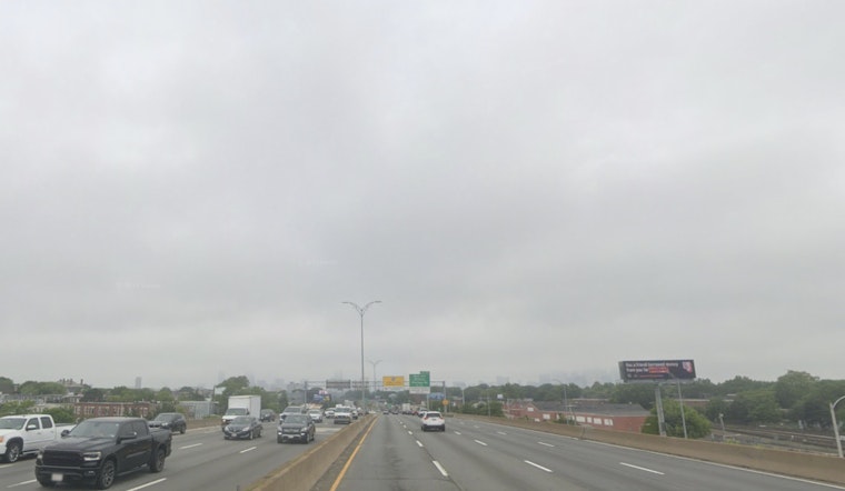
As Monday begins, the Northeast is expected to experience continued unsettled weather. Commuters may encounter difficulties as persistent rain could result in an additional three-quarters to one inch hoodl rainfall overnight, increasing the risk of disruptions and hazardous travel conditions across Southern New England.
According to an article from NBC Boston, "Strong wind and periods of heavy rain begin Sunday evening." Consistent with the forecasts, isolated power outages and minor flooding remain realistic concerns while the storm persists. Although the system is expected to weaken by Tuesday, Bostonians will still face "lingering showers and breezy conditions early before gradual improvement later in the day."
Following the nor’easter, Boston is expected to experience a break in severe weather by midweek, with calmer skies and seasonably cool temperatures near 60 degrees. As weather conditions stabilize, mostly sunny skies are forecast to return toward the end of the week.


