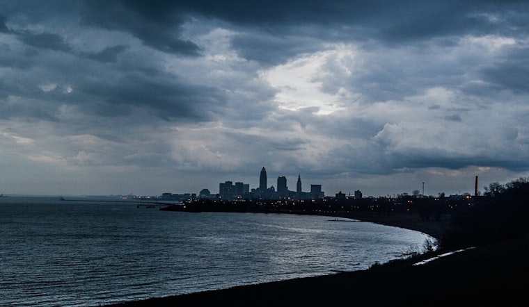
Residents in the Cleveland area should brace for a series of cold fronts sweeping through today, followed by a potential gale event and lake effect rain set to drench parts of the region into the weekend. The National Weather Service in Cleveland outlined the meteorological melee, forecasting "scattered to numerous showers with steep lapse rates and isolated thunderstorms" returning by late afternoon and into tonight.
These showers, high-based with an "inverted-V type appearance," could whip up wind gusts between 30 and 45 mph as the first cold front clears out by midday. Per the NWS Cleveland, this complex system involves a low-pressure system moving into Michigan's Upper Peninsula. It brings the tumultuous weather, including a "prolonged lake effect rain event," as the upper-level trough takes its sweet time moving across the Great Lakes Region.
The situation intensifies on Wednesday when another weather system sweeps east, potentially parking bands of heavy rain along Cleveland's lakeshore. Meanwhile, the wind chill on Wednesday could make temperatures feel like they're near 40 degrees. Moving into Wednesday night through Friday, the NWS Cleveland says "rainfall amounts of 1-3 inches are possible," particularly in northern Ashtabula and Erie Counties. Surface-based instability and a warm lake could wring out even more moisture in the form of lake-effect rain showers and possibly thunderstorms, focused on the Snowbelt areas of NE Ohio and NW PA.
The marine forecast doesn't offer much respite either, with predictions for possible gale force winds across Lake Erie causing the authorities to issue a Gale Watch for the central basin from Wednesday morning through evening. According to the NWS discussion, the winds are expected to be so fierce that they could disturb lake water levels enough to trigger a Low Water Advisory, leading to probable waterspout formations. Safe to say, those planning any lake excursions should remain informed about rapidly developing conditions and advisories.


.jpg)