As Cleveland braces for a diverse weather pattern, the National Weather Service in Cleveland reports a quiet start to the week under the influence of a lingering high-pressure ridge. According to the NWS Area Forecast Discussion, northeastern Ohio and northwest Pennsylvania will enjoy clear skies and mild temperatures initially. However, they can expect a turn as a trough moves toward the region Tuesday night, bringing associated rainfall that will persist through Saturday.
A surface low developing over the Lower Mississippi Valley is expected to intensify as it moves northeastward toward Quebec, impacting the regional weather notably. "The axis of a fairly narrow mid/upper-level ridge should continue to extend from near the southern Appalachians to the western Great Lakes through Tuesday," the NWS reports. This ridge will contribute to fair weather conditions for the near term. But starting Tuesday night, the advancing trough is predicted to change the weather scenario drastically, heralded by shifts in the wind pattern and a gradual buildup of cloud cover.
The residents within northern Ohio and northwest Pennsylvania are advised to prepare for a drop in temperatures after Tuesday, with projected lows reaching the upper 20s to mid-30s in the interior regions and upper 30s to mid-40s near the Lake Erie shoreline. Inferring from the NWS report, the subsequent days will see the thermometer struggle to reach daytime highs beyond the mid-50s, followed by similar night-time lows, with widespread cloud cover and rain likely to be the norm through Thursday night.
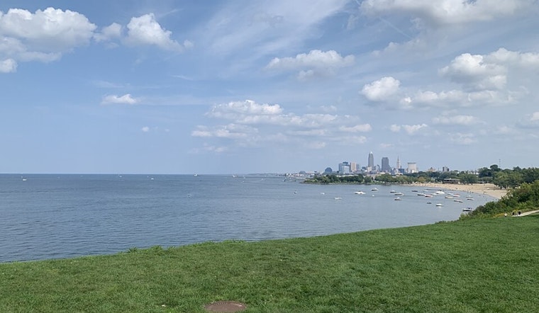
Marine conditions on Lake Erie are also expected to be impacted by the system, with the potential for gale-force winds and waves up to 10 feet by Thursday. "It's likely additional Small Craft Advisories will be needed for this period (and beyond)," warns the forecast discussion. With boaters on alert, the National Weather Service also indicates that persistent northeast winds may strengthen, possibly necessitating further action to ensure marine safety.
As the week progresses, the weather pattern will remain unsettled with the possibility of lake-enhanced precipitation due to the interaction between the rainy system and Lake Erie. This system, once it begins to move away by Friday, will still leave a weak and trailing trough in the area, which could cause lingering rain showers over the weekend. But residents hoping for a wintry mix will be disappointed. "The potential for snow to mix-in with rain at the surface later this week and upcoming weekend appears to be essentially nil," the NWS forecast assures.


