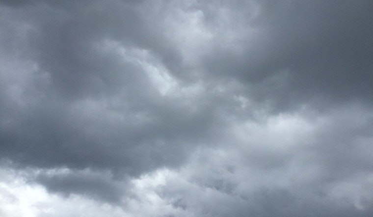
Residents across east Tennessee and parts of southwest North Carolina and southwest Virginia might want to keep a light jacket and umbrella handy, according to the National Weather Service in Morristown, TN. Today, the Knoxville area can expect a 40% chance of showers with a cloudy sky and temperatures peaking around 53 degrees. A light dusting of snow is also on the table for the highest mountain peaks.
Tonight, the chance of precipitation drops to 30%, with conditions clearing later in the evening and temperatures dipping down to around 40 degrees. Winds remain tame, with southwestern gusts up to 20 mph. The vague promise of clearer skies is on the horizon for Friday, bringing mostly sunny weather and a high of 58. Moving into the weekend, a mixed bag of partly sunny conditions awaits, with a constant dance between sun and clouds.
The outlook for hazardous weather over the next few days, which remains relatively tame according to the National Weather Service in Morristown, TN, seems unremarkable. There's a low probability for widespread hazardous weather. However, those planning late-night or early-morning outings should note the 30% chance of showers primarily after 2 am on Saturday night and before 8 am on Sunday.
By the time Monday rolls around, a pattern of mostly sunny days and mostly clear nights will take hold, with balmy highs climbing into the low 60s and overnight lows hovering around the low 40s. Of course, this is East Tennessee weather we're talking about, so while the forecast is a steady friend, always be prepared for it to throw a curveball. Spotter activations are currently unnecessary, but keeping one eye on the sky wouldn't hurt.


