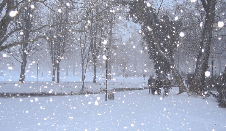
Winter is knocking unusually early on the door of Eastern Sierra this year, with the National Weather Service in Las Vegas issuing warnings for the first significant snowfall of the season. According to the NWS forecast discussion, we're looking at a "potent, early-season storm system" set to bring a cocktail of gusty winds and precipitation across the region, including a Winter Storm Warning effective this afternoon through early Wednesday.
The NWS details a dire start to the week with winds topping the list of concerns Monday and Tuesday, meriting Wind Advisories across select areas. It's the temperatures, however, that bring a chill to the bones, plunging well below normal for this time of the year, with freezing morning lows anticipated across the Owens Valley by midweek. As the brunt of the storm moves in, up to 12 inches of snow could blanket elevations above 7000 feet, with 1-2 feet or more in the highest elevations above 9000 feet. Settling in with the snow, residents in Bishop and the wider Owens Valley should brace for the first freeze of the season, prompting a Freeze Watch to be raised by the authorities.
For travelers and regular commuters, the weather system spells potential trouble. Wind advisories extend to parts of the Colorado River Valley and into Mohave County, with advisories potentially expanding to include Las Vegas for tomorrow. As the NWS puts it, "wouldn't discount 40-50 mph wind gusts on Tuesday." Moreover, with the incoming cold front, Harry Reid International is set to see gusty conditions with a shift in wind direction and possible shower activity by tomorrow afternoon. Amid these conditions, spotters are encouraged to report significant weather impacts as they unfold.
Trekking closer to the weekend, locals can expect to shed a few layers, albeit slowly, as temperatures begin a gradual climb back toward normal. But until then, the region is in for a sharp reminder that winter, perhaps, pays little heed to the calendar. While most TAF sites are set to remain dry until sunrise Tuesday, regions around KDAG and KBIH are in for early, unsettled weather with the threat of low CIGS and rain as of early Tuesday morning.


