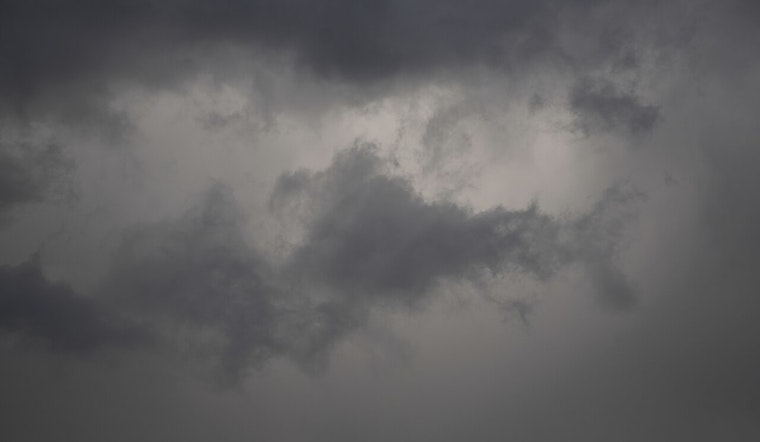
Residents of Honolulu and the neighboring regions are advised to keep an eye on the sky, as the National Weather Service in Honolulu projects a week filled with breezy conditions and a potential uptick in shower activity. As per the NWS Honolulu, the trade winds will maintain their strength throughout the week, with stronger gusts expected closer to the weekend. The weather pattern over the islands is characterized by wet trades, which have been responsible for numerous pre-dawn showers across various communities, leaving most with a light soaking.
According to the NWS forecast, the highest rainfall accumulations reported have been around three-quarters of an inch in areas such as Wailua, Hanamaula, Manoa, Moanalua, and Puu Waawaa. This includes leeward locations of Oahu and Big Island. Meanwhile, there's a low chance of thunderstorms and possibly even a snow shower around the summits of Mauna Kea and Mauna Loa over the next few days, a situation brought about by a weak trough and associated humid air remaining focused over higher terrain.
Navigating through Hawaiian skies should also come with fewer bumps, thanks to a cancellation of the AIRMET Tango, which had cautioned against moderate turbulence. Pilots can anticipate occasional low-end VFR to high-end MVFR ceilings with light showers, mainly affecting windward and mauka regions, as reported by the same NWS discussion.
The marine conditions around Hawaii are waving in with a series of northwest to north-northwest swells. Surfers should note that swells are expected to elevate surf along north and west facing shores throughout the week. While original forecasts pitched higher swell heights, the actual energy seems to be passing mostly north of the state, which means surfers may find the waves slightly less monstrous than anticipated.
Fire warnings remain at bay for now as the islands benefit from both higher humidity levels and passing showers. However, trades are expected to gain momentum later in the week. Despite this uptick, the elevated humidity should continue, which should help maintain lower critical fire weather thresholds, especially near Maui and the Big Island, where temperature inversion heights range from 6,500 to 8,500 feet today.


