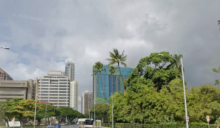
The islands are bracing for a continued bout of inclement weather, as per the latest updates from the National Weather Service in Honolulu. An upper-level low-pressure system, a few hundred miles west of Kauai, is expected to drift west-southwest over the next several days, inviting moderate to locally strong trade winds, enhanced showers, and isolated thunderstorms to the state through at least Saturday. "Another upper level low is forecast to drop southward towards the islands early next week and maintain an unsettled weather pattern," the NWS reported on their website.
While overnight rainfall hasn't been excessive, with totals of less than one inch in the wettest locations, thunderstorms developed early this morning just south of Oahu and north of Kauai, prompting a Flood Watch. The NWS cautions that "This Watch may need to be extended in time depending on the evolution of complex later today." These wet conditions are fueled by unstable conditions aloft and low-level convergent boundaries.
A second upper-level disturbance is predicted to stall northeast of the state and weaken through mid-week. This continues the trend set by the first low's slow march westward, both phenomena contributing to the wet weather forecast. Radar has documented enhanced shower activity mainly over the northeast and eastern portions of all islands and adjacent coastal waters.
The NWS also warns of aviation impacts, with "enhanced showers" leading to "periods MVFR conditions, along with isolated IFR ceilings and visibility in some of the more robust showers and storms." Active AIRMET advisories reflect concerns for mountain obscuration and moderate turbulence, expected to last through the day. Mariners aren't left out of the cautionary statements, with a Small Craft Advisory remaining in effect for several waters surrounding the islands.
Surfers and beachgoers should expect heightened surf conditions on north and west-facing shores until the end of the week, owing to two moderate, long-period swells. This surf will gradually taper off on Sunday, before another swell is projected to arrive next Wednesday. Fire weather concerns are low, given that wind speeds and afternoon humidity levels shall stay "below critical fire weather thresholds through the forecast period," as the weather is predicted to remain unsettled with frequent precipitation, as detailed by the NWS.
For up-to-date information, residents and visitors are advised to frequently check the NWS Honolulu forecasts at NWS Honolulu Weather Forecast.


