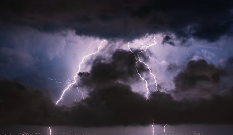
As the National Weather Service in Indianapolis reports, a mix of scattered showers and thunderstorms is set to roll across central Indiana later today, with a high near 81 degrees. By tonight, the likelihood of precipitation ramps up to a full 100%, with thunderstorms expected before midnight, followed by showers and a possible thunderstorm after. Residents should prepare for a soggy evening, as new rainfall could accumulate between three-quarters and one inch.
The weather drama continues into Sunday, with a 90% chance of ongoing showers and thunderstorms. The temperatures will see-saw dramatically, expected to drop to around 52 degrees by the afternoon. Those with weekend plans should take note of the blustery conditions, as westerly winds are forecasted to gust between 30 to 40 mph. As outlined in the hazardous weather outlook, "Westerly winds will gust up to 30 to 40 mph at times on Sunday."
Looking towards the start of the workweek, Monday offers a brief respite with a sunny sky and highs near 65 degrees. But the stability is short-lived; come Monday night, the chance of showers rears its head again, albeit at a modest 30% likelihood. Winds remain a factor, predicted to blow south at 11 to 13 mph, with gusts as high as 23 mph.
As the week progresses, the forecasts indicate a return to calmer skies. Tuesday should see early morning showers taper off to leave behind sunny weather with highs hovering around 60 degrees. And by midweek, the forecast suggests that Indianapolis residents can enjoy sunny days and clear nights. However, spotters might be needed later today and into the night, as "Spotter activation may be needed later today into tonight," the NWS indicates. The rest of the week appears relatively uneventful, with only a slight chance of showers forecasted towards the end.


