Indianapolis residents experienced a crispy start to their day as a Freeze Warning from the National Weather Service lingered until 9 AM this morning, with temperatures diving as low as 27 degrees. According to the NWS, all of central Indiana felt the chill, that may have led to potential harm to tender vegetation and possibly posed risks to unprotected outdoor plumbing systems.
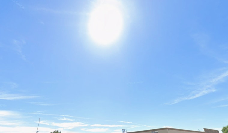
After the early morning frost cleared, the skies took a turn towards sunshine, pushing the day's high to near 58, as calm winds from the west northwest added a slight breeze in the afternoon. The NWS freeze warning notably emphasized the risks, telling residents "Take steps now to protect tender plants from the cold." and tonight, temperatures are expected to drop again to around 37 degrees, so those with sensitive outdoor plants might want to cover them up or bring them in to avoid potential damage.
Looking ahead, the weather forecast seems to be a mixed bag with tomorrow bringing clouds but similar temperatures and Sunday introducing a slight chance of showers in the afternoon, though the odds of precipitation remain low. Calm winds will continue to persist throughout the weekend, subtly shifting from the southeast to the east, helping contribute to the mild fluctuation in weather patterns.
The hazardous weather outlook provided by the NWS doesn't suggest any major threats for the coming week, despite the frost advisory that started the day, giving the community a breath of relief after ensuring their flora were safeguarded against the sharper claws of early morning frosts. The NWS assures that, "No hazardous weather is expected at this time," however, spotters will remain on standby as the region navigates through the possibly cool and wet conditions expected on Tuesday and Wednesday with chances of showers ranging from 30 to 50 percent, residents should stay updated on weather developments.


